Plate 110 from The Plan of Chicago, 1909: Chicago. Plan of the Complete System of Street Circulation; Railway Stations; Parks, Boulevard Circuits and Radial Arteries; Public Recreation Piers, Yacht Harbor, and Pleasure-Boat Piers; Treatment of Grant Park; the Main Axis and the Civic Center, Presenting the City as a Complete Organism in which All its Functions are Related One to Another in such a Manner that it will Become a Unit
1909
Ink and wash on paper
103 × 127.8 cm (40.6 × 50.3 in)
SEE IT IN PERSON
Not currently on view
In the collection of Art Institute of Chicago, Chicago · as of July 2026
Discussion
Be the first to share your thoughts.
Sign in to join the discussion.
More by Daniel Hudson Burnham
 Point West of Algiers, North Africa, Travel Sketch
 Sketch Taken at Algiers, North Africa, Travel Sketch
 Plate 50 A from Plan of Chicago 1909: Chicago. View of the P
 Bay of Tunis Through Porthole of Steamship Fürst Bismark, Tu
 South Shore Park, Chicago, Illinois, Design Sketch
 View of the Proposed Civic Center Plaza and Buildings, The 1
 Plate 122 from The Plan of Chicago, 1909: Chicago. Railway S
 Plate 114 from The Plan of Chicago, 1909: Chicago. Proposed
 More like this
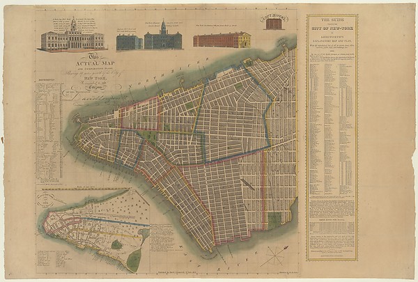 David Longworth|James DeForest Stout|Daniel Fanshawe — The C
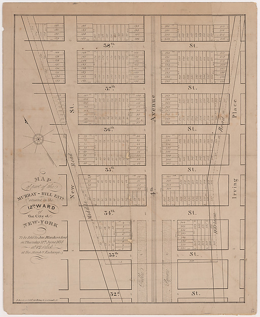 Prosper Desobry — Map of part of the Murray-Hill Estate, Sit
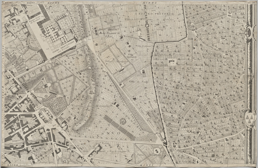 Giovanni Battista Nolli (Italian, 1701–1756) — Nuova pianta
 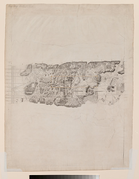 David H. Burr|J. H. Colton & Co. — Topographical Map of the
 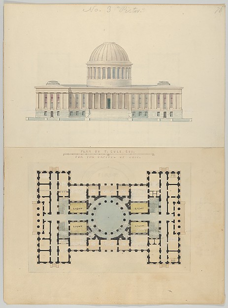 Alexander Jackson Davis — Plan by T. Cole, Esq. for the Capi
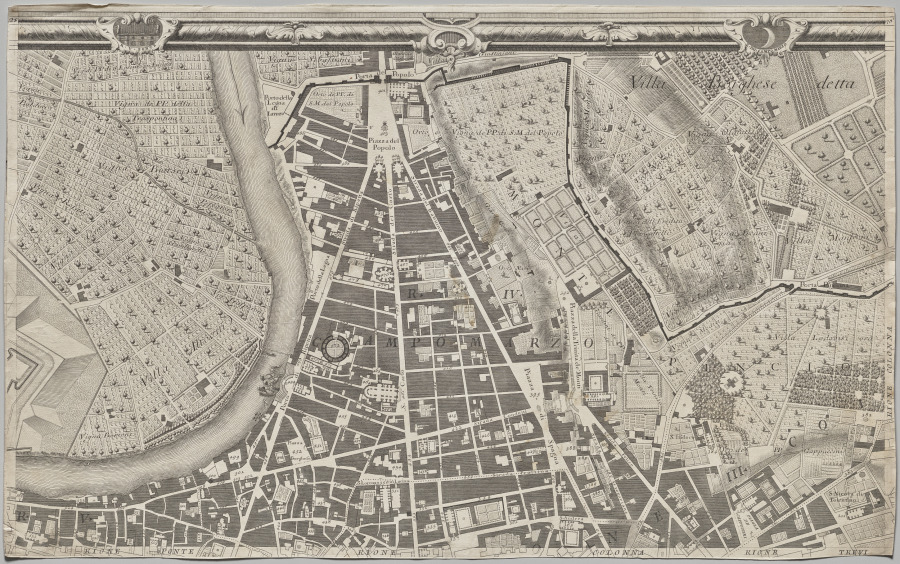 Giovanni Battista Nolli (Italian, 1701–1756) — Nuova pianta
 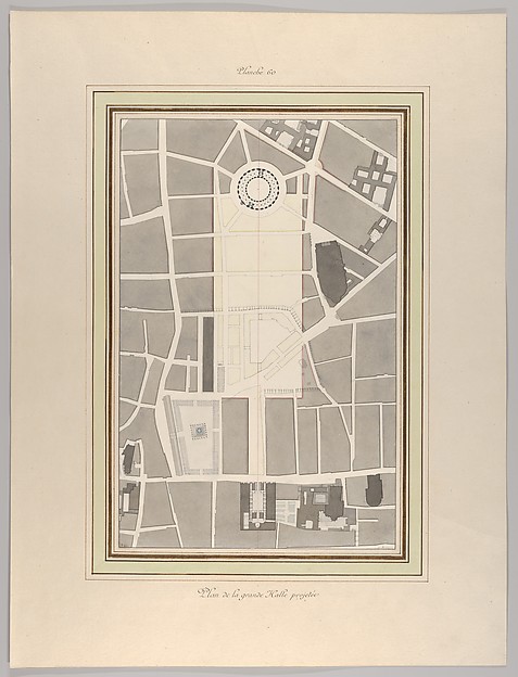 Pierre François Léonard Fontaine — La Halle aux Blés, Street
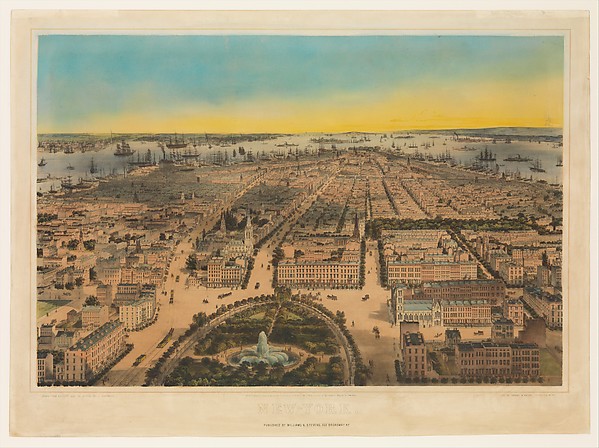 C. Bachman|Williams & Stevens|Sarony & Major|John Bachmann —
 D.H. Burnham & Co. — Potomac Round Point, Washington D.C., S
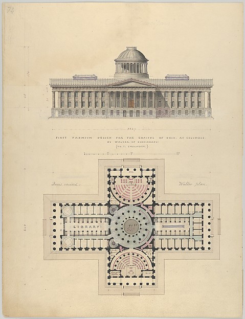 Alexander Jackson Davis — First Premium Design for the Capit
 Anonymous — Plan der innern Stadt Wien mit dem Gebiete der S
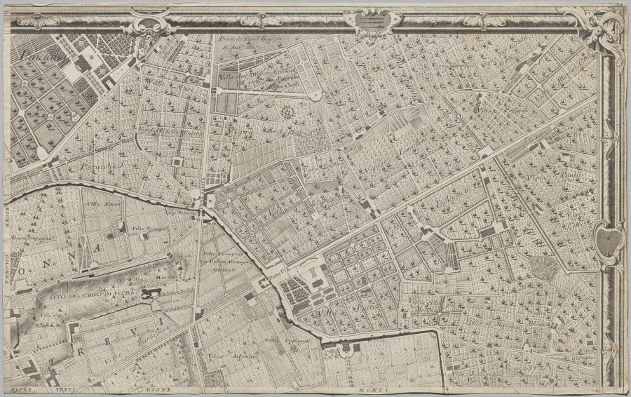 Giovanni Battista Nolli (Italian, 1701–1756) — Nuova pianta