Plate 50 A from Plan of Chicago 1909: Chicago. View of the Proposed Park on the South Shore Looking Northwest Towards the City.
1896
Pastel on paper
93.6 × 129.5 cm (36.9 × 51 in)
SEE IT IN PERSON
Not currently on view
In the collection of Art Institute of Chicago, Chicago · as of July 2026
Discussion
FROM THE ART INSTITUTE OF CHICAGO’S CATALOG
One of the most significant results of the Plan of Chicago is the system of lakefront parks, which runs over 18 miles along Lake Michigan and spans nearly the entire length of the city. Building on the landscape developed for the World’s Columbian Exposition in Jackson Park, Burnham imagined these green spaces as providing a “continuous playground for the people,” with playing fields, lagoons for boating, and paths for promenades. In this drawing, the parks appear completely removed from the busy streets of the city.
Be the first to share your thoughts.
Sign in to join the discussion.
More by Daniel Hudson Burnham
 Point West of Algiers, North Africa, Travel Sketch
 Sketch Taken at Algiers, North Africa, Travel Sketch
 Bay of Tunis Through Porthole of Steamship Fürst Bismark, Tu
 South Shore Park, Chicago, Illinois, Design Sketch
 View of the Proposed Civic Center Plaza and Buildings, The 1
 Plate 122 from The Plan of Chicago, 1909: Chicago. Railway S
 Plate 114 from The Plan of Chicago, 1909: Chicago. Proposed
  Plate 131 from The Plan of Chicago, 1909: Chicago. Elevation
More like this
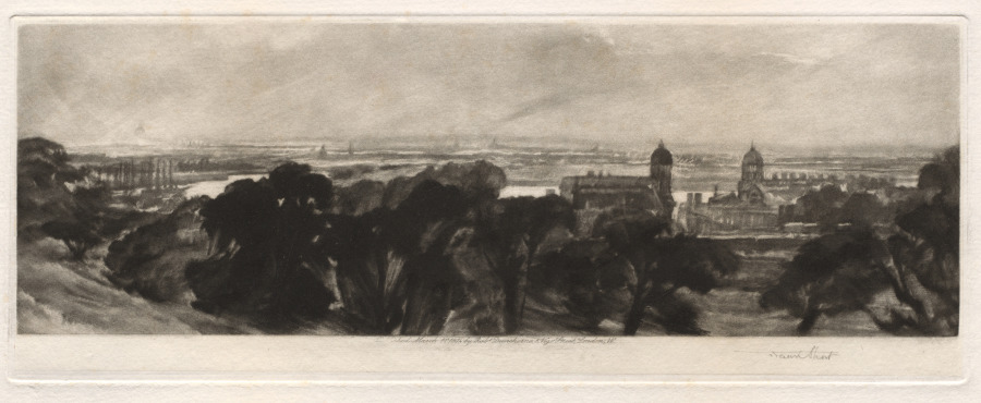 Frank Short (British, 1857–1945) — London from Greenwich
 James McNeill Whistler — The Thames
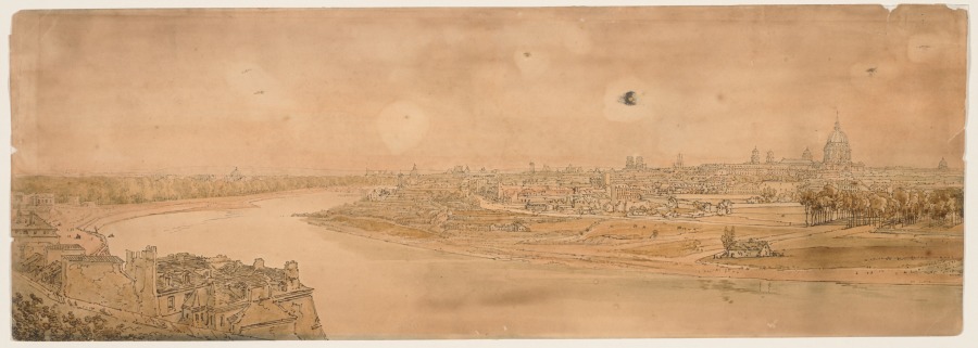 Thomas Girtin (British, 1775–1802) — A Selection of Twenty o
 James McNeill Whistler — Early Morning
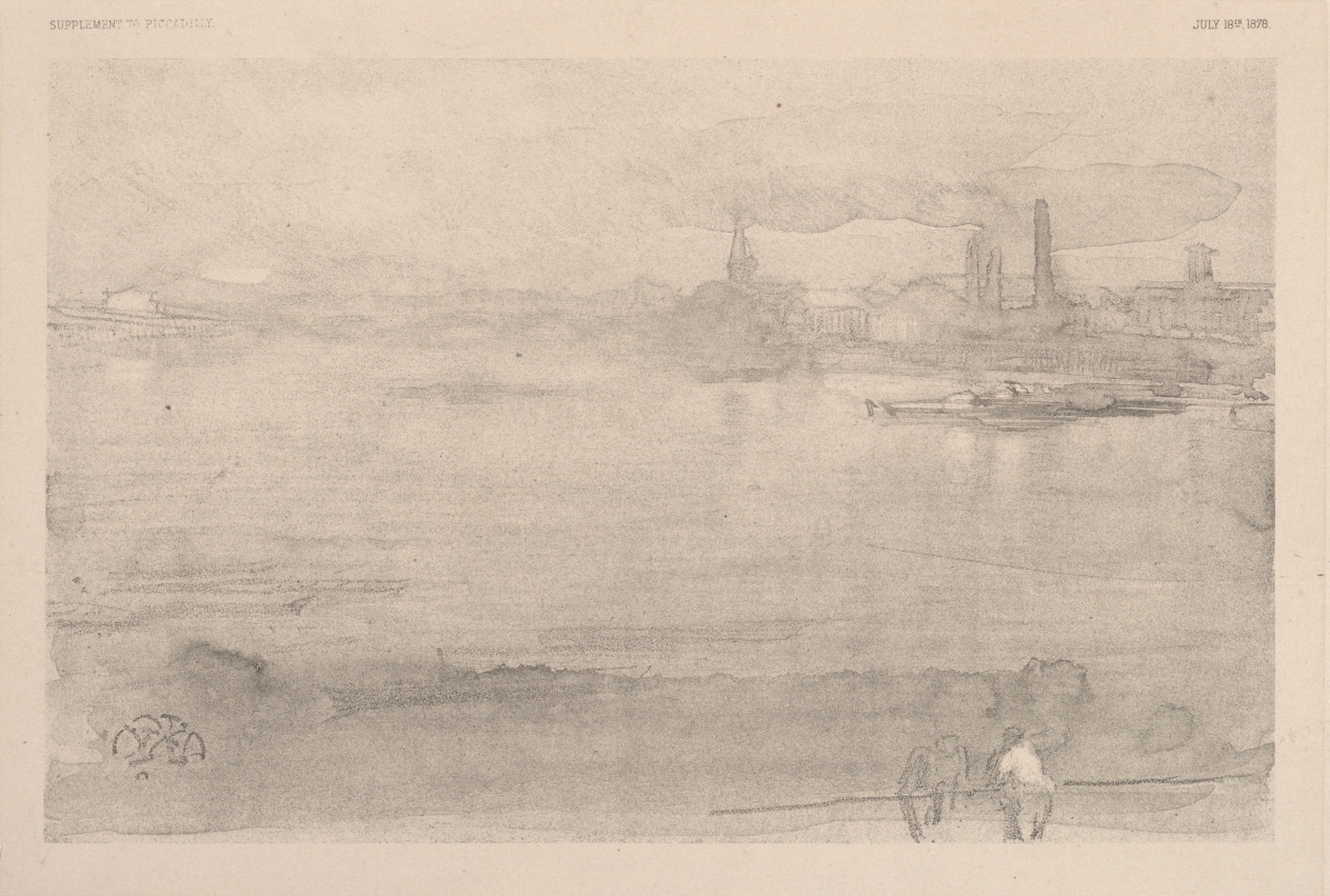 James McNeill Whistler (American, 1834–1903) — Early Morning
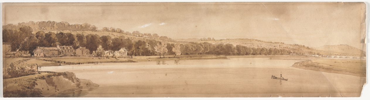 Thomas Girtin (British, 1775–1802) — Twenty Views of Paris a
 Georges Michel — Straat met huizen aan weerszijden
 James McNeill Whistler — Early Morning
 Philips Koninck — Wide River Landscape
 Frederic Bourgeois de Mercey (French, 1805–1860) — View of t
 James McNeill Whistler (American, 1834–1903) — Early Morning
 Paul Cezanne — Montagne Saint-Victoire (The Arc Valley)