Plate 91 from The Plan of Chicago, Chicago, Proposed Diagonal Arteries
1909
Black and colored ink, graphite, and colored pencil on a printed map
107.3 × 72.7 cm (42.2 × 28.6 in)
SEE IT IN PERSON
Not currently on view
In the collection of Art Institute of Chicago, Chicago · as of July 2026
Discussion
Be the first to share your thoughts.
Sign in to join the discussion.
More by Daniel Hudson Burnham
 Point West of Algiers, North Africa, Travel Sketch
 Sketch Taken at Algiers, North Africa, Travel Sketch
 Plate 50 A from Plan of Chicago 1909: Chicago. View of the P
 Bay of Tunis Through Porthole of Steamship Fürst Bismark, Tu
 South Shore Park, Chicago, Illinois, Design Sketch
 View of the Proposed Civic Center Plaza and Buildings, The 1
 Plate 122 from The Plan of Chicago, 1909: Chicago. Railway S
 Plate 114 from The Plan of Chicago, 1909: Chicago. Proposed
 More like this
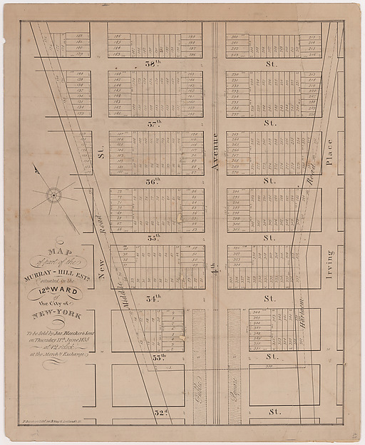 Prosper Desobry — Map of part of the Murray-Hill Estate, Sit
 D.H. Burnham & Co. — Potomac Round Point, Washington D.C., S
 D.H. Burnham & Co. — Orchestra Hall, Chicago, Illinois, Deta
 Joseph Pennell — Stock Yards, Chicago
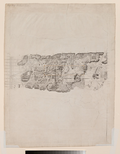 David H. Burr|J. H. Colton & Co. — Topographical Map of the
  Joseph Pennell — New York, from Brooklyn Bridge
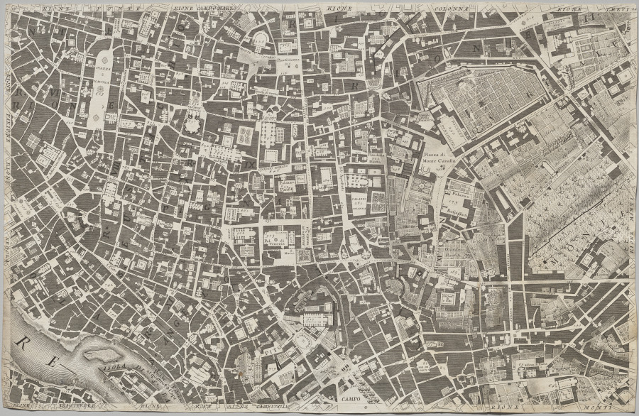 Giovanni Battista Nolli (Italian, 1701–1756) — Nuova pianta
  Treat & Foltz — Ontario Apartment Building, Chicago, Illinoi
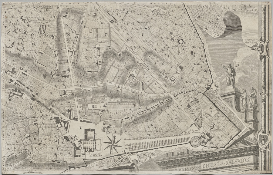 Giovanni Battista Nolli (Italian, 1701–1756) — Nuova pianta
 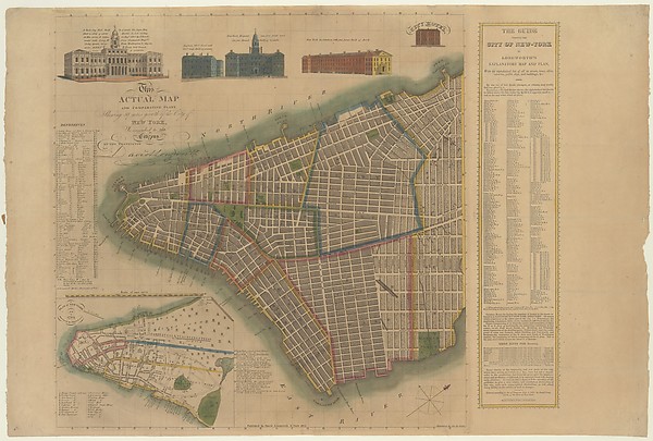 David Longworth|James DeForest Stout|Daniel Fanshawe — The C
 Joseph Pennell — The Cliffs
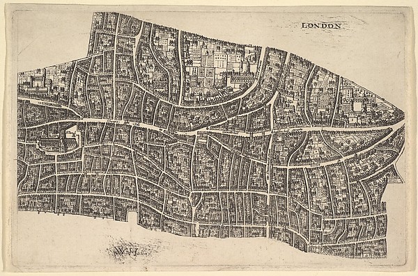 Wenceslaus Hollar — London before the Great Fire