Plate 35 from Plan of Chicago 1909: Chicago, and Diagram of Lake Michigan. Proposed Roadway to connect all the towns along the shores of the Lake.
1909
Graphite and colored pencil on paper
158 × 102.4 cm (62.2 × 40.3 in)
SEE IT IN PERSON
Not currently on view
In the collection of Art Institute of Chicago, Chicago · as of July 2026
Discussion
Be the first to share your thoughts.
Sign in to join the discussion.
More by Daniel Hudson Burnham
 Point West of Algiers, North Africa, Travel Sketch
 Sketch Taken at Algiers, North Africa, Travel Sketch
 Plate 50 A from Plan of Chicago 1909: Chicago. View of the P
 Bay of Tunis Through Porthole of Steamship Fürst Bismark, Tu
 South Shore Park, Chicago, Illinois, Design Sketch
 View of the Proposed Civic Center Plaza and Buildings, The 1
 Plate 122 from The Plan of Chicago, 1909: Chicago. Railway S
 Plate 114 from The Plan of Chicago, 1909: Chicago. Proposed
 More like this
 William and Henry Rock — Canada, from "Court Game of Geograp
 K. Th. Westermann|Franz Wentzel — New-York (From the Southwe
 Jacques Callot (French, 1592–1635) — The Siege of La Rochell
 David H. Burr|J. H. Colton & Co. — Topographical Map of the
 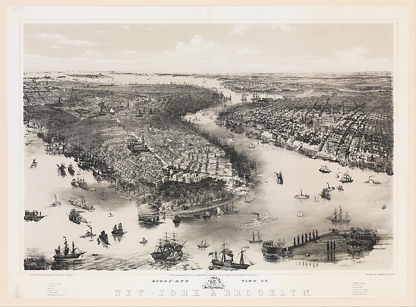 John Bachmann|William Endicott & Co. — Bird's Eye View of Ne
 Joseph Pennell — Stock Yards, Chicago
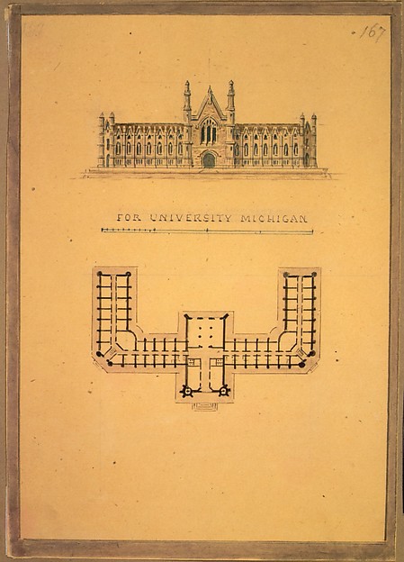 Alexander Jackson Davis — Design for University of Michigan
 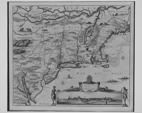 Nicolas Joannis Visscher — Novi Belgii Novaeque Angliae Nec
  R. Gray — Map of North America (Handkerchief)
 Lancelot "Capability" Brown — Luton Park, Bedfordshire, Plan
 Unknown Artist
English, 19th century — Tabula Moderna Indiae
Unknown Artist
English, 19th century — Tabula Moderna Indiae Unknown Artist
English, 19th century — Quarta Europe Tabula:
Unknown Artist
English, 19th century — Quarta Europe Tabula: