Down the old Quarry Road near Frontenac on Lake Pepin, , No. 1545 from the series "Among the Bluff Scenery of the Upper Mississippi"
1870/1908
Albumen print, stereo
10.1 × 7.5 cm (4 × 3 in)
SEE IT IN PERSON
Not currently on view
In the collection of Art Institute of Chicago, Chicago · as of July 2026
Discussion
Be the first to share your thoughts.
Sign in to join the discussion.
More by Henry Hamilton Bennett
 Down the river from the Bluff at Reed's Landing, No. 1528 fr
 Looking out of cave in Lone Rock, No. 1125 from the series "
 Laokoon and his sons attacked by Serpents; Art Institute, fr
 Protection, No. 79 from the series "Wayside Gems"
 Cleft Rock on East Mountain, No. 1203 from the series "Devil
 Ho-con-ja-gab Moche he (Thunder Cloud.), No. 480 from the se
 Northern Dome of Phantom Cathedral, No. 1305 from the series
 Under the Railroad Bridge, No. 1055 from the series "In and
 More like this
 Timothy O'Sullivan — Apache Lake, Summit of Sierra Blanca Mo
 Andrew Joseph Russell — Mirror Lake A, No. 35 from the serie
 London Stereoscopic and Photographic Company — Stereo Kodak
 J.W. & J.S. Moulton — Willow Road, Lanesville, Mass.
 H.D. Udall — Nourmahal Cascade, from the South, No. 8 from t
 H.D. Udall — Lu-lu Cascade, No. 43 from the series "Imperial
 Timothy O'Sullivan — Lagunas Caballo, or Horse Lakes, 14 mil
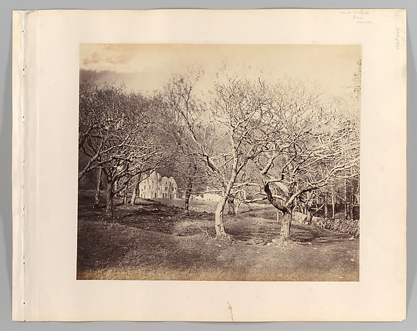 Horatio Ross — Glen Forsa, Isle of Mull
 Timothy O'Sullivan — View of Grand Cañon walls, near mouth o
 Timothy O'Sullivan — Cooley's Ranch, 10 miles east of Camp A
 William Henry Jackson — Badlands of Wyoming
 B. Bradley — Eagle Lake, Mt. Desert, Me.