Mirror Lake A, No. 35 from the series "California and The Pacific Coast, West from Omaha"
n.d.
Albumen print, stereo
7.7 × 7.2 cm (3 × 2.8 in)
SEE IT IN PERSON
Not currently on view
In the collection of Art Institute of Chicago, Chicago · as of July 2026
Discussion
Be the first to share your thoughts.
Sign in to join the discussion.
More by Andrew Joseph Russell
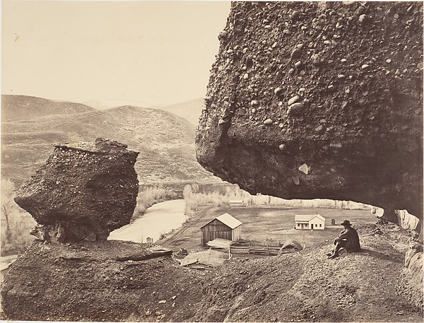 Hanging Rock, Foot of Echo Cañon
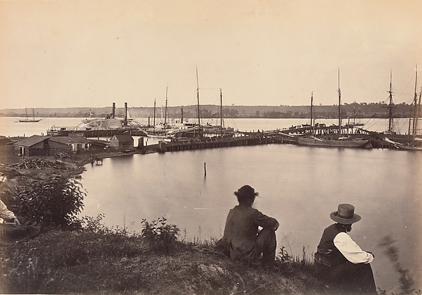 Government Coal Wharf, Alexandria, Virginia
 Wilhelmina's Pass, Distant View of Serrated Rocks or Devil's
 Wasatch Range of Rocky Mountains, From Brigham Young's Woole
 High Bluffs, Black Buttes
 Coal Wharf, Alexandria, Virginia
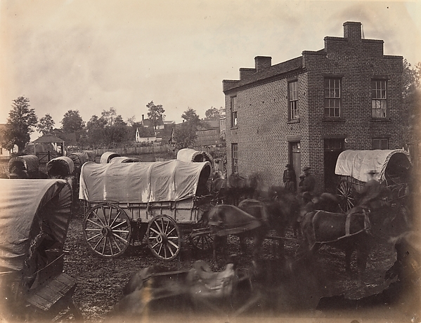 Street Scene, Culpeper, Virginia
 Laramie Valley, From Sheephead Mountains
More like this
 Timothy O'Sullivan — Apache Lake, Summit of Sierra Blanca Mo
 Anthony and Company — Looking Down the Kauterskill, from the
 Timothy O'Sullivan — Lagunas Caballo, or Horse Lakes, 14 mil
 Timothy O'Sullivan — Lost Lakes, head of Conejos Cañon, Colo
 Kilburn Brothers — Merced River, Yosemite, Cal.
 Timothy O'Sullivan — Beaver Lake, Conejos Cañon, Colorado, 9
 Thomas Houseworth and Company — The Lake, Yosemite Valley, N
 Timothy O'Sullivan — Cooley's Ranch, 10 miles east of Camp A
 Timothy O'Sullivan — Coyotero Apache Scouts, at Apache Lake,
 Carleton Watkins — The Foot of the Vernal Fall, Yosemite, fr
 Carleton Watkins — View on the Merced, Yosemite Valley, Mari
 Timothy O'Sullivan — Baldy Peak, Cerro Blanco Mountains, Col