FROM THE CLEVELAND MUSEUM OF ART’S CATALOG
By nature and by experience gained during the Civil War, O’Sullivan was ideally suited for the physical and creative demands required of the official photographer for the geological exploration of the fortieth parallel, led by the enterprising Yale geologist Clarence King. The goal of the expedition was to survey the geological structure and natural resources of a swath of territory 100 miles wide, from the eastern slopes of the Sierra Nevada Mountains across the Great Basin to the Rocky Mountains. While on the expedition in 1867–69 and 1872, O’Sullivan simultaneously pursued his own interest in perfecting a balanced, aesthetic style of landscape photography while providing a faithful record of the natural terrain. As typified in this print, he positioned the camera at a distance parallel to the majestic scenery, presenting a shallow, flattened depiction of space. The image describes in sharp detail the sheer beauty and rugged scale of this Western landscape.
Source ↗︎
Be the first to share your thoughts.
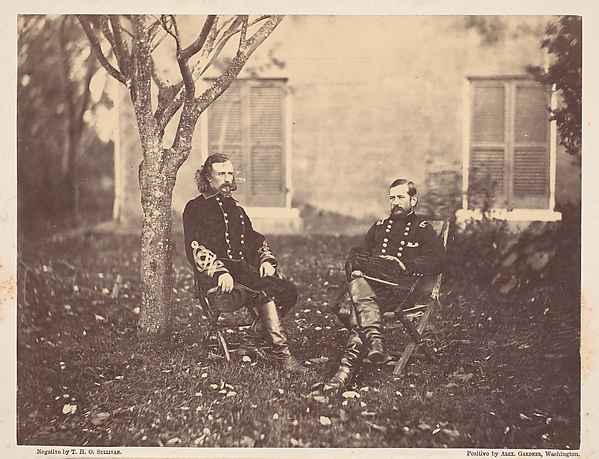 Major General Pleasanton and General Custer
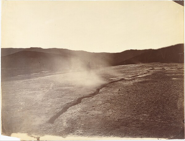 Fissure Vent at Steamboat Springs, Nevada
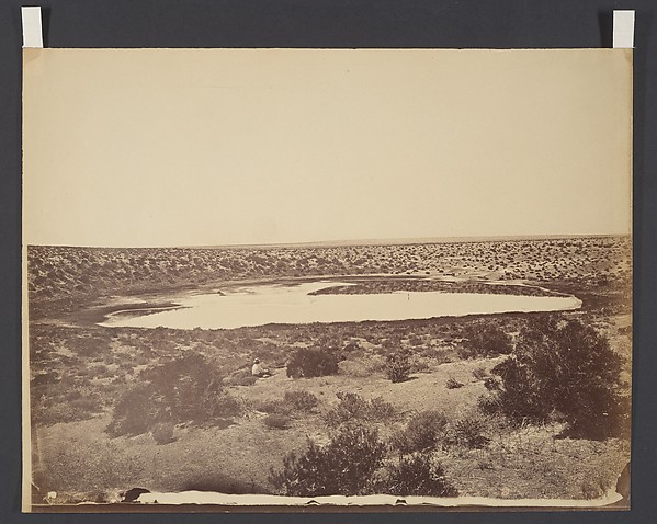 Desert Lake, near Ragtown, Nevada
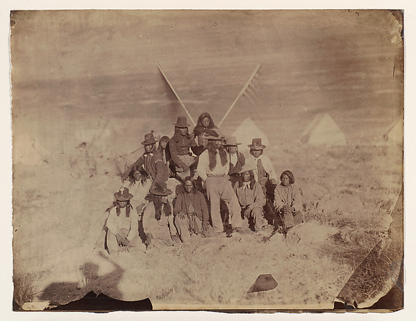 Shoshone
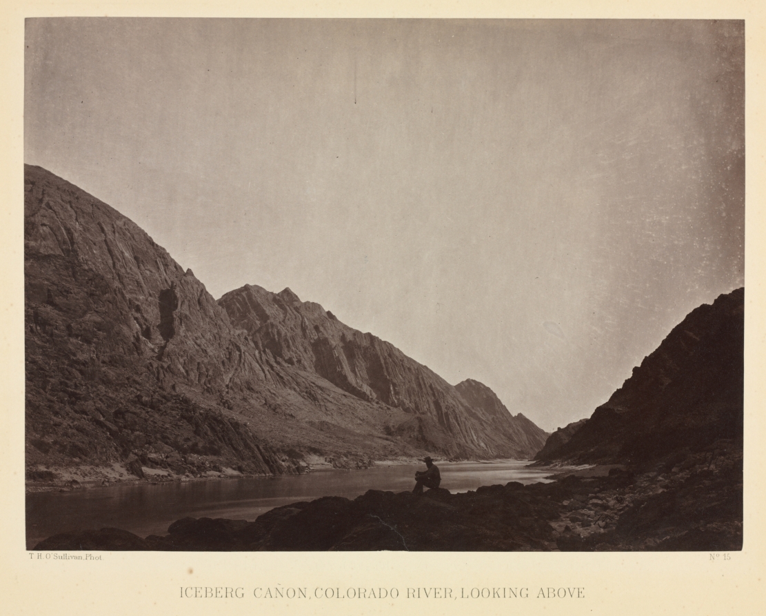 Iceberg Canyon, Colorado River Looking Above
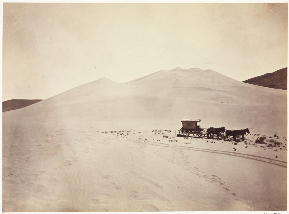 Sand Dunes, Carson Desert, Nevada
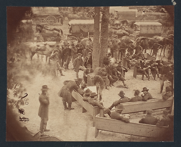 General Grant's Council of War, Massaponax Church, Virginia
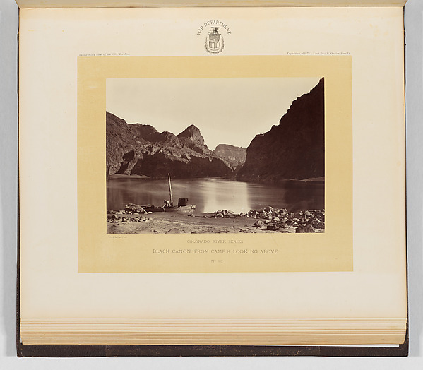 Black Cañon, From Camp 8, Looking Above
![[Yosemite National Park, California]](https://images.metmuseum.org/CRDImages/ph/web-large/DP136832.jpg)