In the collection of Cleveland Museum of Art, Cleveland — check current display status with the museum.
FROM THE CLEVELAND MUSEUM OF ART’S CATALOG
Timothy H. O'Sullivan served on the first and last seasons (1871-73) of the geographical expedition, led by Lieutenant George Montague Wheeler, to explore and map lands west of the 100th meridian. Wheeler sought an inland passage for troops from Idaho and Utah southward to Arizona and desired to document the topography to benefit future settlement. O'Sullivan's unequaled experience in the field earned him a boat of his own, Picture , from which he slowly explored the canyons from his low vantage point on the Colorado River. In this carefully composed picture of Iceberg Canyon, he seamlessly blended documentary and aesthetic interests, bringing formal and geological order to what is perhaps his best photograph taken along the Colorado. Contemplating the beautiful scenery, the centrally positioned, seated figure introduces human participation to a scene of geological wonder.
Be the first to share your thoughts.
Sign in to join the discussion.
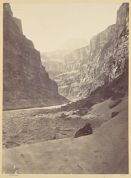 William Bell — Grand Cañon of the Colorado River, Mouth of K
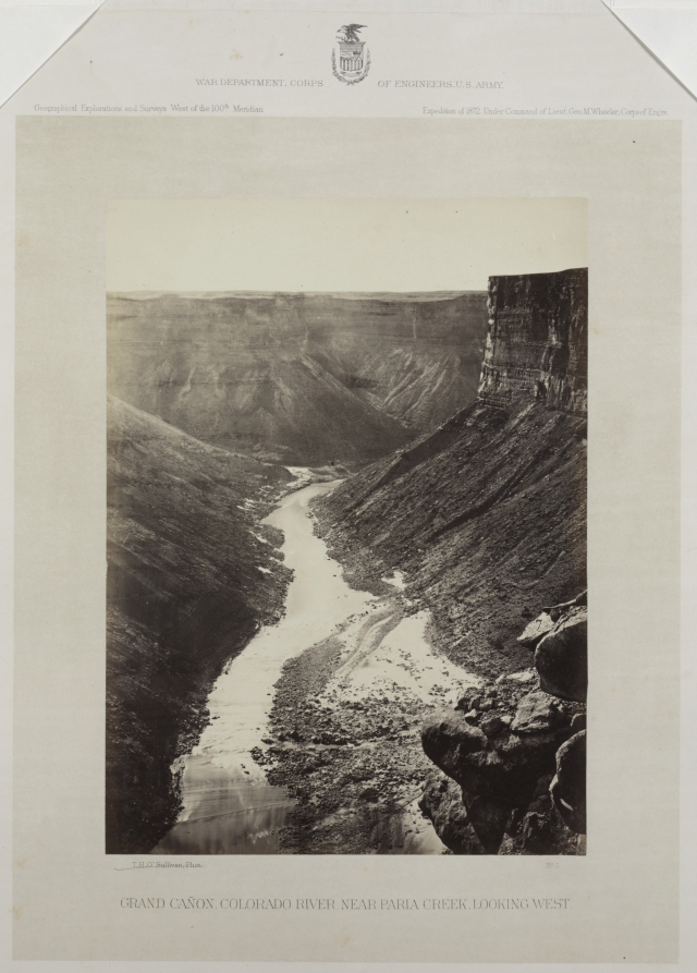 William H. Bell (American, 1830–1910) — Grand Cañon, Colorad
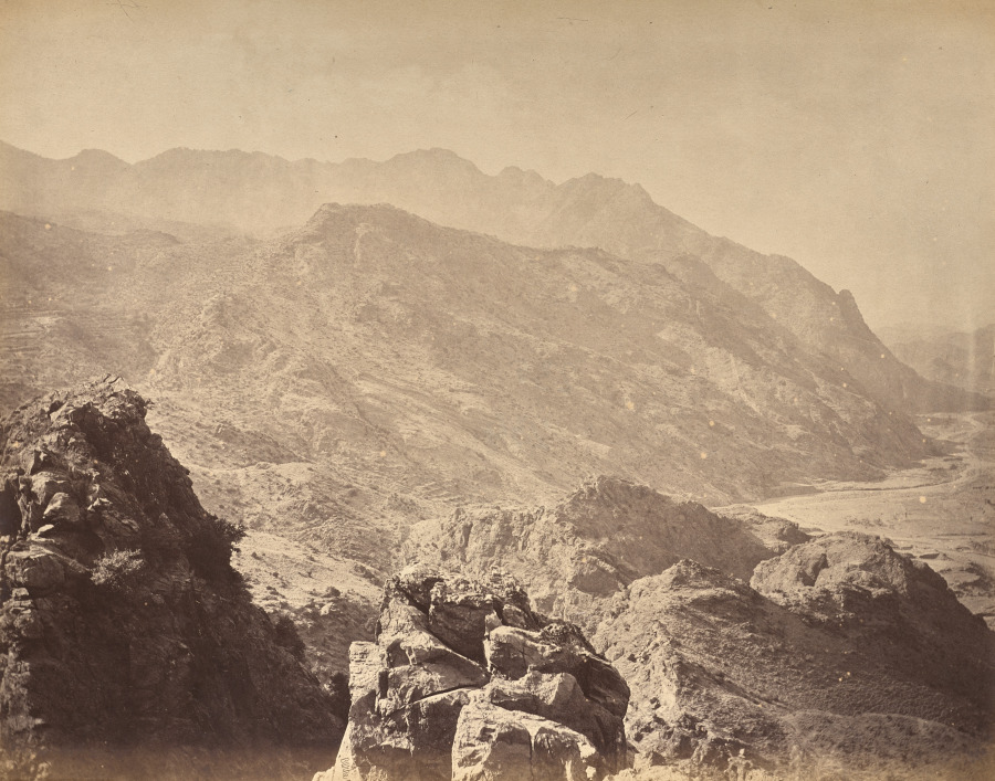 John Burke (Irish, 1845–1915) — Landi Kotal Pass, Looking To
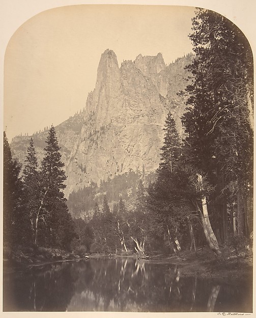 Carleton E. Watkins — River View, Sentinel, 3270 Feet
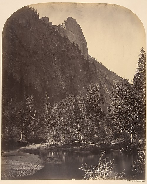 Carleton E. Watkins — River View, Sentinel, 3270 Feet
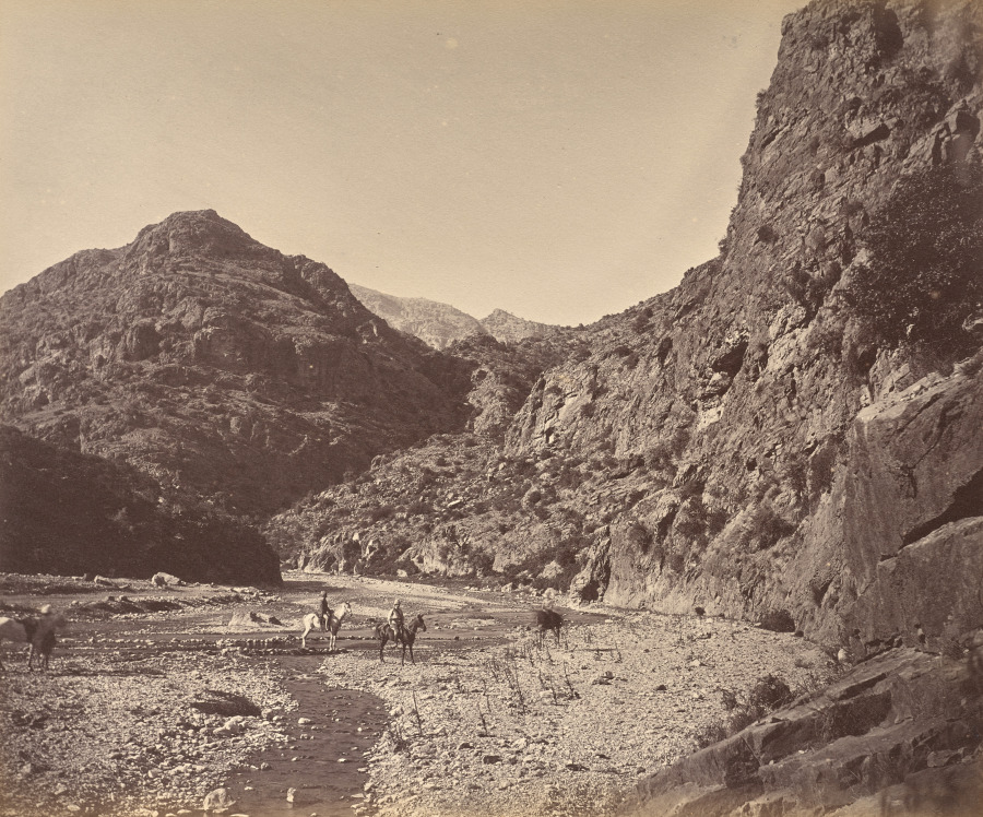 John Burke (Irish, 1845–1915) — Pass Near Ali Musjid, Showin
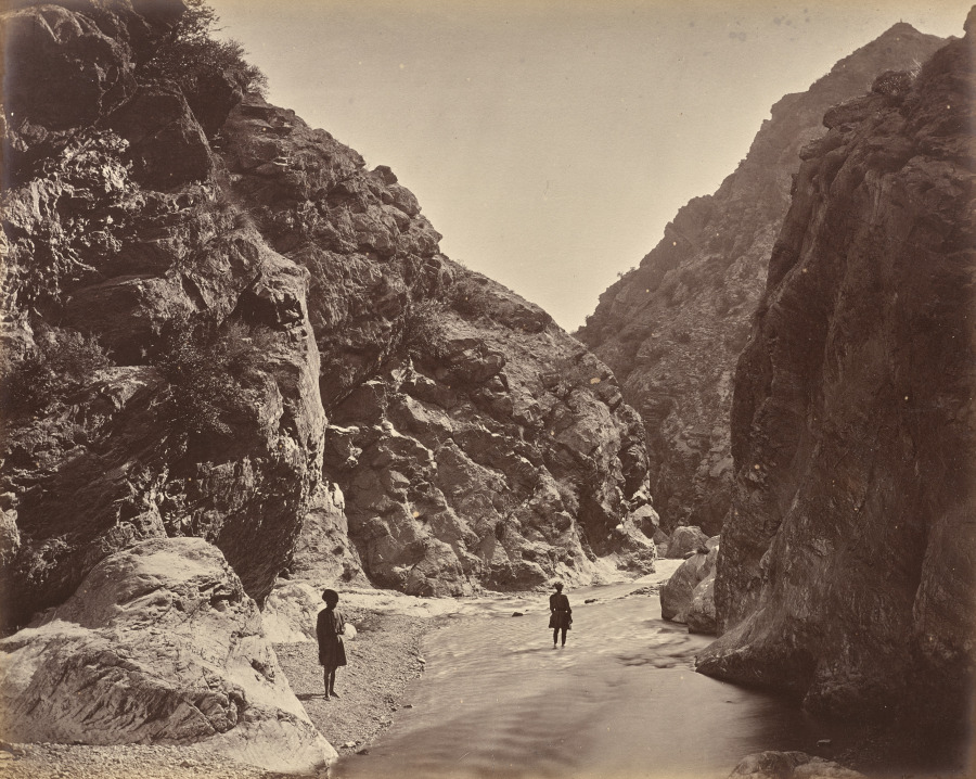 John Burke (Irish, 1845–1915) — End of the Defile, Looking B
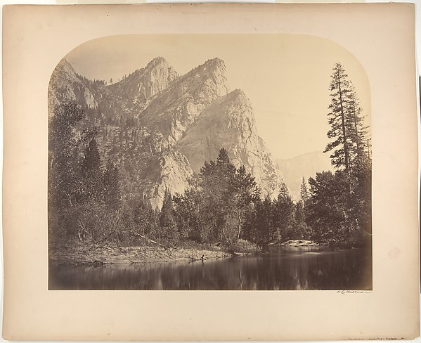 Carleton E. Watkins — Pompomasos (Leaping Frogs), Three Brot
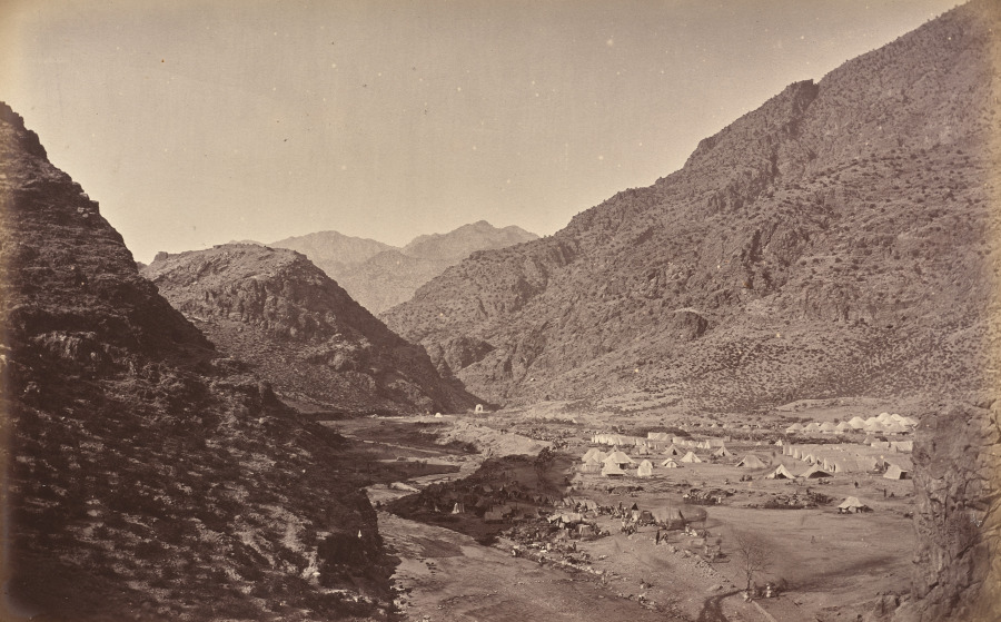 John Burke (Irish, 1845–1915) — Ali Musjid and Camp
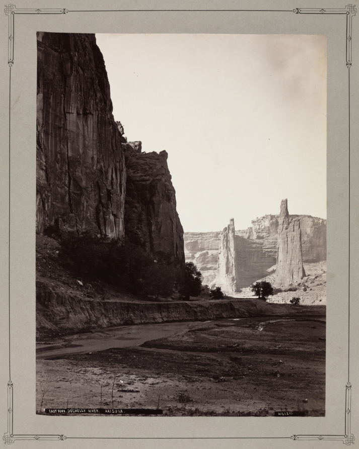 John K. Hillers (American, 1843–1925) — East Fork, de Chelly
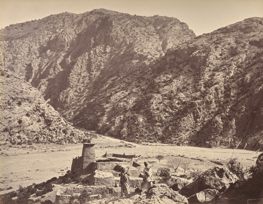 John Burke (Irish, 1845–1915) — Kuta Kushta
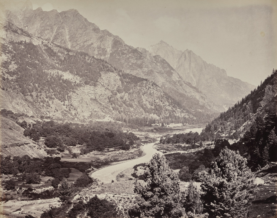 Samuel Bourne (British, 1834–1912) — The Upper Himmalayahs.