The northern wall of the Grand Cañon of the Colorado, near the foot of To-ro-weap valley. The rounded rocks of the foreground are sand-stone, No. 14 from the series "Geographical Explorations and Surveys West of the 100th Meridian"
1872
Albumen print, stereo
9.1 × 7.5 cm (3.6 × 3 in)
SEE IT IN PERSON
Not currently on view
In the collection of Art Institute of Chicago, Chicago · as of July 2026
Discussion
Be the first to share your thoughts.
Sign in to join the discussion.
More by William H. Bell
 Grand Cañon of the Colorado River, Mouth of Kanab Wash, Look
 Grand Cañon, Colorado River, Near Paria Creek, Looking East
 Grand Cañon of the Colorado River, Mouth of Kanab Wash, Look
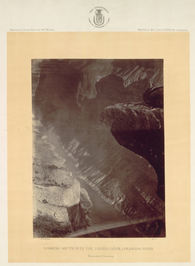 Looking South into the Grand Canyon, Colorado River, Sheavwi
 Mouth of the Paria, Colorado River; walls 2.100 feet in heig
 The "Vermillion Cliff," a typical plateau edge, as seen from
 The Cañon of Kanab Creek, near its junction with the Grand C
 Colorado River, Mouth of Kanab Wash, Looking West
More like this
 Timothy O'Sullivan — Central portion of Canñon de Chelle, Ne
 Timothy O'Sullivan — View of Grand Cañon walls, near mouth o
 Timothy O'Sullivan — Grotto Spring, Grand Cañon, Colorado Ri
 Timothy O'Sullivan — Camp Beauty, Canñon de Chelle; walls 1.
 Timothy O'Sullivan — Circle Walls, Cañon de Chelle. Here the
 Henry Hamilton Bennett — Port Hole at Coon Castle, No. 1310
  H.D. Udall — Nourmahal Cascade, from the South, No. 8 from t
 Carleton Watkins — Yenaya Canyon from Glacier Point, Yosemit
 Timothy O'Sullivan — Characteristic ruin, of the Pueblo San
  H.D. Udall — Coffin Rock, No. 19 from the series "Imperial G
 William I. Marshall — Giant's Gateway, Cañon of North Fork,
  Purviance — Au Sable Chasm - Column Rocks, from the series "