Characteristic ruin, of the Pueblo San Juan, New Mexico, on the north bank of the San Juan River, about 15 miles west of the mouth of Cañon Largo. The present race of Indians know nothing of when or by whom these buildings were constructed. The ruin is about 350 feet square, and built of natural stone, joined together by a mud cement, No. 43 from the series "Geographical Explorations and Surveys West of the 100th Meridian"
1874
Albumen print, stereo
9.3 × 7.4 cm (3.7 × 2.9 in)
SEE IT IN PERSON
Not currently on view
In the collection of Art Institute of Chicago, Chicago · as of July 2026
Discussion
Be the first to share your thoughts.
Sign in to join the discussion.
More by Timothy O'Sullivan
 Distant View of Camp Apache, Arizona
 Cooley's Ranch, 10 miles east of Camp Apache, Arizona. A cha
 View on Apache Lake, Sierra Blanca Range, Arizona
 Cañon de Chelle, Walls of the Grand Cañon, about 1200 feet i
 Cañon, Valley of the Conejos River, looking south from vicin
 Black Cañon, Colorado River, Looking Below, Near Camp 7
 Beaver Lake, Conejos Cañon, Colorado, 9.000 feet above sea-l
 Head of Cañon de Chelle, Looking Down. Walls about 1200 feet
More like this
 William H. Bell — The northern wall of the Grand Cañon of th
 James Robertson — Russian Barrack Battery
 William H. Bell — The mouth of Kanab Creek. The beds of the
  James Robertson — Bomb-Proof in which the Russian General li
 Chas. Waldack — "Bandit Hall", No. 30 from the series "Mammo
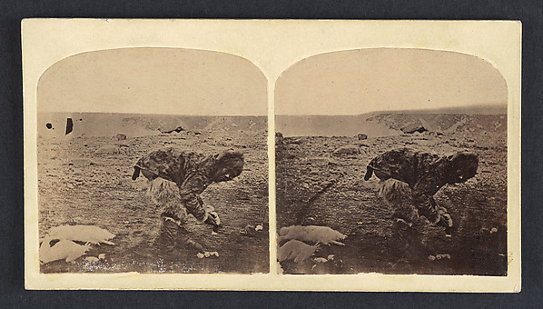 Isaac Israel Hayes — Esquimau
 William H. Bell — The "Vermillion Cliff," a typical plateau
 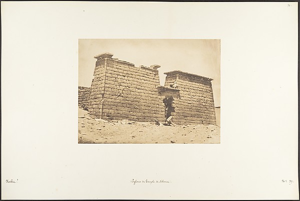 Maxime Du Camp — Pylones du Temple de Sébona
 William Henry Jackson — Badlands of Wyoming
 James Robertson — Mortar Battery
 Maxime Du Camp — Hémi-Spéos De Séboua, Drômos; Nubie, plate
  James Robertson — Battery in the Malakoff