Cape Horn, Columbia River, No. 1231 from the series "Watkins' Pacific Coast"
1867
Albumen print, stereo
8 × 7.7 cm (3.1 × 3 in)
SEE IT IN PERSON
Not currently on view
In the collection of Art Institute of Chicago, Chicago · as of July 2026
Discussion
Be the first to share your thoughts.
Sign in to join the discussion.
More by Carleton Watkins
 Untitled (Warehouse on Wharf)
 First View of Yosemite Valley from the Mariposa Trail
 Untitled (Mining Town)
 Untitled (Miners and Log Cabin)
 San Francisco Bay
 The Vernal Fall, 300 ft., Yosemite, from the series "Watkins
 First View of the Yosemite Valley from the Mariposa Trail
 Section of the Grizzly Giant with Galen Clark, Mariposa Grov
More like this
 Henry Hamilton Bennett — Down the Lake from Sandy Beach, No.
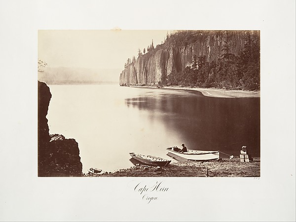 Carleton E. Watkins — Cape Horn, Oregon
 Timothy O'Sullivan — Lagunas Caballo, or Horse Lakes, 14 mil
 Henry Hamilton Bennett — Looking down stream, through the Ja
 Henry Hamilton Bennett — Looking out of Bass Cove, No. 238 f
 Timothy O'Sullivan — Iceberg Cañon, Colorado River, Looking
  Timothy O'Sullivan — Shoshone Falls, Snake River, Idaho, Mai
 Timothy O'Sullivan — Apache Lake, Summit of Sierra Blanca Mo
 B. Bradley — Eagle Lake, Mt. Desert, Me.
 William England — Galerie Sun La Route De La Via Mala, Suiss
 G. W. Wilson — Loch Katrine, looking West
 Timothy O'Sullivan — Central portion of Canñon de Chelle, Ne