Artesian Well, Central Park, Chicago
c. 1873
Albumen prints, stereo
9.4 × 7.8 cm (3.7 × 3.1 in)
SEE IT IN PERSON
Not currently on view
In the collection of Art Institute of Chicago, Chicago · as of July 2026
Discussion
Be the first to share your thoughts.
Sign in to join the discussion.
More by Copelin and Son


More like this
 Timothy O'Sullivan — Coyotero Apache Scouts, at Apache Lake,
 Timothy O'Sullivan — Apache Lake, Summit of Sierra Blanca Mo
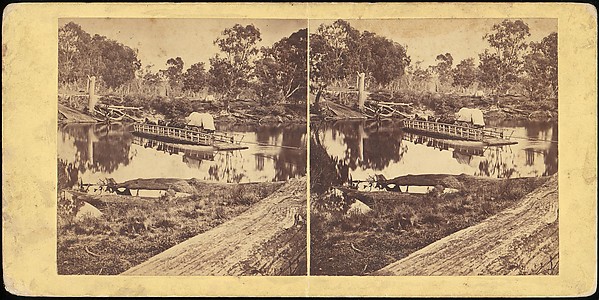 Unknown — Golbourn Punt at Seymour, Australia
 Adolphe Braun — Kehl
 London Stereoscopic and Photographic Company — Stereo Kodak
 Anthony and Company — Bridge Over the Ramapo at Greenwood, N
 Anthony and Company — The Cave, No. 6206 from the series "Ce
 Timothy O'Sullivan — Cooley's Ranch, 10 miles east of Camp A
 Unknown — Crystal Palce: General View of the Palace, Cascade
 W. Woodward — The Rock called "Dovedale Church," In the dist
 Timothy O'Sullivan — One of the group of Pagosa Hot Springs,
 Charles Marville — Untitled, from the series "Bois de Boulog