Rain Sculpture, Salt Creek Cañon, Utah
1872
Albumen print
27.3 × 20.1 cm (10.7 × 7.9 in)
SEE IT IN PERSON
Not currently on view
In the collection of Art Institute of Chicago, Chicago · as of July 2026
Discussion
Be the first to share your thoughts.
Sign in to join the discussion.
More by William H. Bell
 Grand Cañon of the Colorado River, Mouth of Kanab Wash, Look
 Grand Cañon, Colorado River, Near Paria Creek, Looking East
 Grand Cañon of the Colorado River, Mouth of Kanab Wash, Look
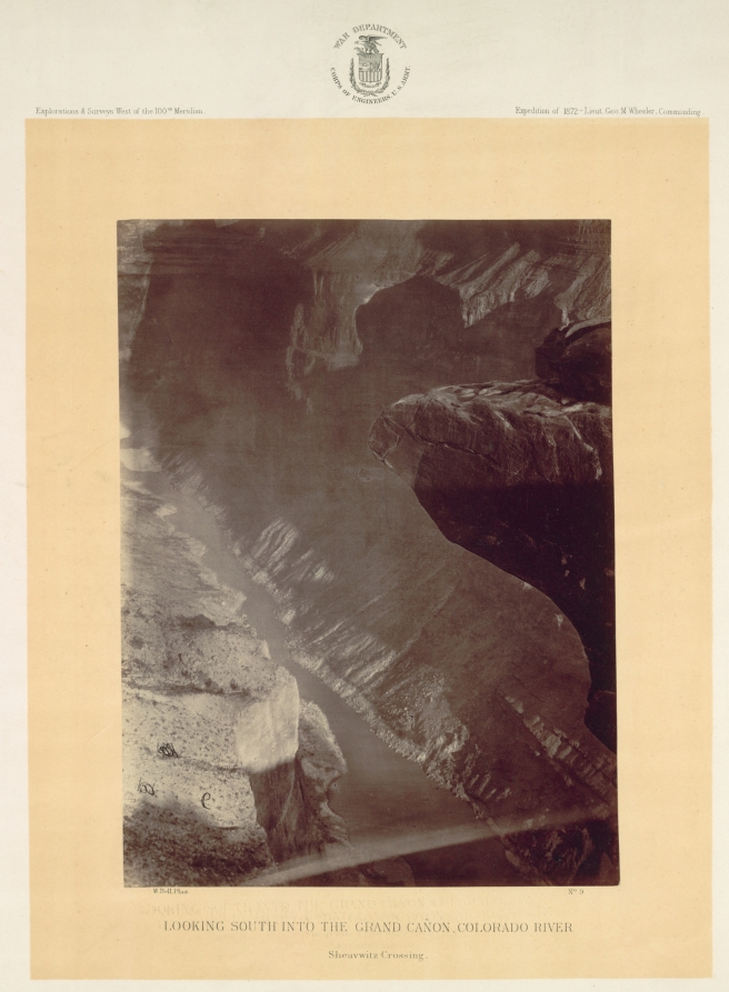 Looking South into the Grand Canyon, Colorado River, Sheavwi
 Mouth of the Paria, Colorado River; walls 2.100 feet in heig
 The "Vermillion Cliff," a typical plateau edge, as seen from
 The Cañon of Kanab Creek, near its junction with the Grand C
 Colorado River, Mouth of Kanab Wash, Looking West
More like this
 Andrew Joseph Russell — Serrated Rocks or Devil's Slide, (Ne
 Andrew Joseph Russell — Church Buttes, Near Fort Bridger, Wy
 Andrew Joseph Russell — Sentinel Rock, Echo Canon
 Andrew Joseph Russell — Conglomerate Peaks of Echo
 Maxime Du Camp — Gournah, Nécropole de Thèbes; Thèbes, plate
 Maxime Du Camp — Nécropole de l'Ancienne Lycopolis, Haute-Eg
 Timothy O'Sullivan — North Fork Cañon, Sierra Blanca Creek,
  John Dillwyn Llewelyn (British, 1810–1882) — Rocks at Liverm
 Andrew Joseph Russell — Bitter Creek Valley, Near Green Rive
 Timothy O'Sullivan — The South Side of Inscription Rock
 Timothy O'Sullivan — Wall in the Grand Cañon, Colorado River
 Maxime Du Camp — Rive Orientale du Nil (Village de Bab), Vue