Aboriginal Life Among the Navajoe Indians, Near Old Fort Defiance, N.M.
SEE IT IN PERSON
Not currently on view
In the collection of Art Institute of Chicago, Chicago · as of July 2026
Discussion
FROM THE ART INSTITUTE OF CHICAGO’S CATALOG
An 1868 treaty, signed at gunpoint, allowed the Navajo back onto ancestral lands in Arizona after 20 years of raids and slaughter capped by the genocidal “Long Walk” east to captivity in New Mexico. This richly hued picture shows labor clearly—drying ears of corn and a double loom are in brilliant focus—while the laborers appear blurred and idle. But these four Navajo men still seem stubbornly present. The one half-hidden at the back, and the one who turns his face away, may be actively resisting portrayal. Such presence and tacit resistance both run counter to romanticized images of the Navajo as actively dangerous or disappearing—images that already were fast becoming clichés. See also: Robin Kelsey, Archive Style (2007); James C. Faris, Navajo and Photography (1996)
Be the first to share your thoughts.
Sign in to join the discussion.
More by Timothy O'Sullivan
 Distant View of Camp Apache, Arizona
 Cooley's Ranch, 10 miles east of Camp Apache, Arizona. A cha
 View on Apache Lake, Sierra Blanca Range, Arizona
 Cañon de Chelle, Walls of the Grand Cañon, about 1200 feet i
 Cañon, Valley of the Conejos River, looking south from vicin
 Black Cañon, Colorado River, Looking Below, Near Camp 7
 Beaver Lake, Conejos Cañon, Colorado, 9.000 feet above sea-l
 Head of Cañon de Chelle, Looking Down. Walls about 1200 feet
More like this
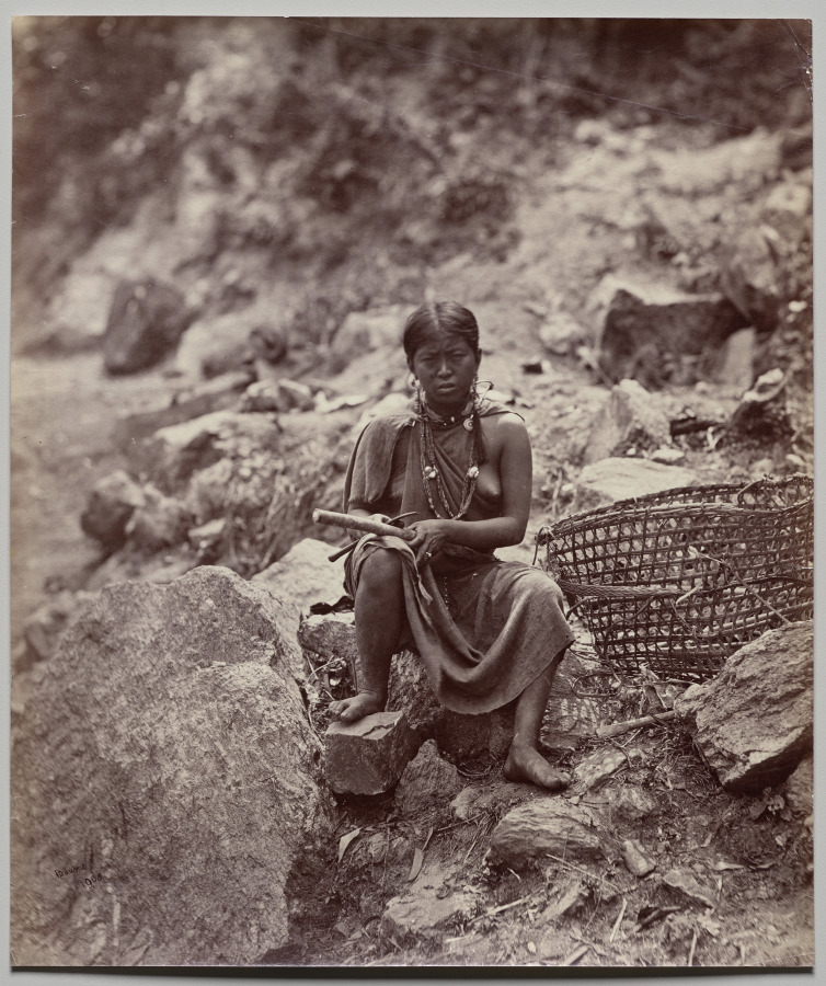 Samuel Bourne (British, 1834–1912) — Lepcha Woman (number 19
![[Native American Woman in Camp with Racks of Drying Meat]](https://images.metmuseum.org/CRDImages/ph/web-large/DP115226.jpg) Unknown — [Native American Woman in Camp with Racks of Dryin
Unknown — [Native American Woman in Camp with Racks of Dryin![[Chinese Woman Sitting with Basket]](https://images.metmuseum.org/CRDImages/ph/web-large/DP148486.jpg) Raimund von Stillfried — [Chinese Woman Sitting with Basket]
Raimund von Stillfried — [Chinese Woman Sitting with Basket]![[Native American Women and Horses by Teepee in Camp]](https://images.metmuseum.org/CRDImages/ph/web-large/DP115232.jpg) Unknown — [Native American Women and Horses by Teepee in Cam
Unknown — [Native American Women and Horses by Teepee in Cam Gustave Le Gray — Untitled
 Roger Fenton — Men of the 77th ready for the Trenches
 David Knox — A Fancy Group, in Front of Petersburg
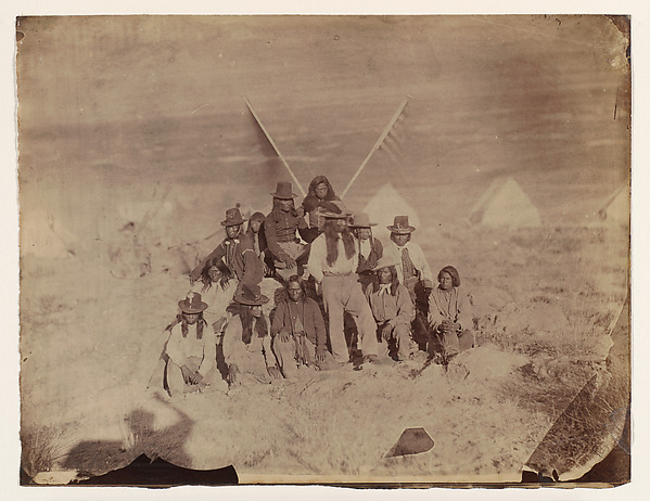 Timothy H. O'Sullivan — Shoshone
![[Group of Native American Men, Telegraph Poles in Background]](https://images.metmuseum.org/CRDImages/ph/web-large/DP115228.jpg) Unknown — [Group of Native American Men, Telegraph Poles in
Unknown — [Group of Native American Men, Telegraph Poles in ![[Family Seated by Thatched Hut, South America]](https://images.metmuseum.org/CRDImages/ph/web-large/DP71235.jpg) Unknown — [Family Seated by Thatched Hut, South America]
Unknown — [Family Seated by Thatched Hut, South America] Gustave Le Gray — Untitled (Zouaves)
 Roger Fenton — Untitled