Ancient Ruins in the Cañon de Chelle, N.M. In a niche 50 feet above present Cañon bed.
SEE IT IN PERSON
Not currently on view
In the collection of Art Institute of Chicago, Chicago · as of July 2026
Discussion
FROM THE ART INSTITUTE OF CHICAGO’S CATALOG
In 1871 Timothy O’Sullivan, an experienced outdoor photographer, was recruited to contribute to a survey of the American Southwest with goals of assessing the native population, selecting sites for future military installations and railways, identifying mineral and other resources, and clarifying the border with Mexico. Working with cartographers and natural scientists, O’Sullivan documented lands unexplored by non-Native Americans, providing highly detailed photographs such as this image of Canyon de Chelly in northwestern northeastern Arizona, which had been continuously inhabited by the Anasazi and Navajo for nearly 5,000 years. Here O’Sullivan depicted the White House ruins, the striations of the canyon wall, and two small figures below, conveying the site’s monumental character. Although O’Sullivan’s famously sparse views are considered by some as forerunners to the modernist aesthetic of the early 20th century, such documents were likely intended only to imitate the graphic simplicity of maps and charts.
Be the first to share your thoughts.
Sign in to join the discussion.
More by Timothy O'Sullivan
 Distant View of Camp Apache, Arizona
 Cooley's Ranch, 10 miles east of Camp Apache, Arizona. A cha
 View on Apache Lake, Sierra Blanca Range, Arizona
 Cañon de Chelle, Walls of the Grand Cañon, about 1200 feet i
 Cañon, Valley of the Conejos River, looking south from vicin
 Black Cañon, Colorado River, Looking Below, Near Camp 7
 Beaver Lake, Conejos Cañon, Colorado, 9.000 feet above sea-l
 Head of Cañon de Chelle, Looking Down. Walls about 1200 feet
More like this
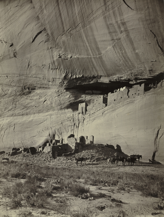 John K. Hillers (American, 1843–1925) — Ruins of Cliff Dwell
 William H. Bell — Grand Cañon of the Colorado River, Mouth o
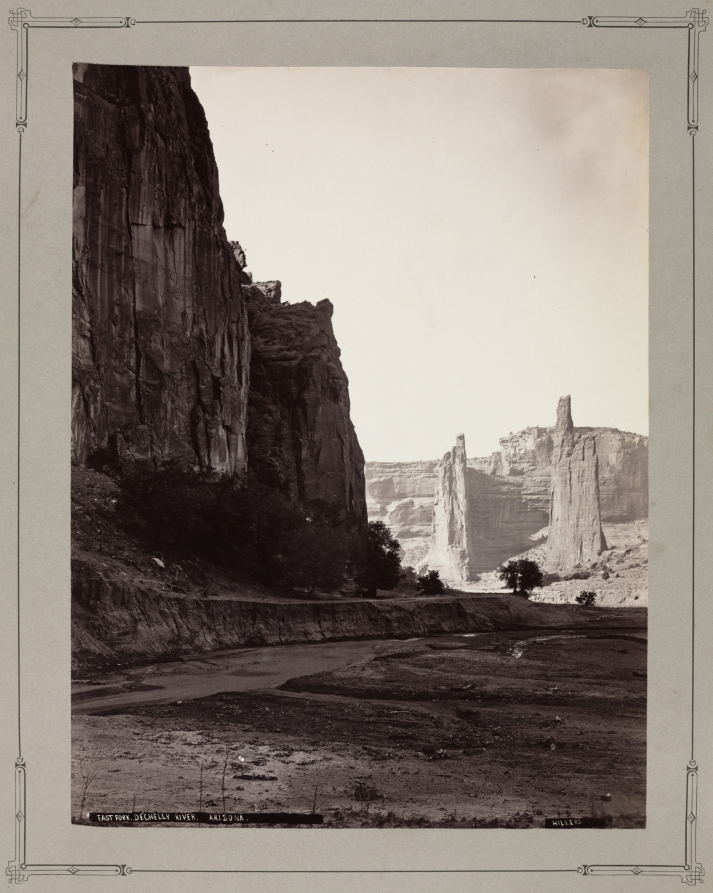 John K. Hillers (American, 1843–1925) — East Fork, de Chelly
 William H. Bell — Cañon of Kanab Wash, Colorado River, Looki
 Andrew Joseph Russell — Castle Rock, Green River Valley
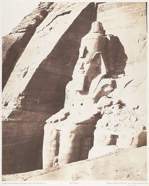 Félix Teynard|Imprimerie Photographique de H. de Fonteny et
 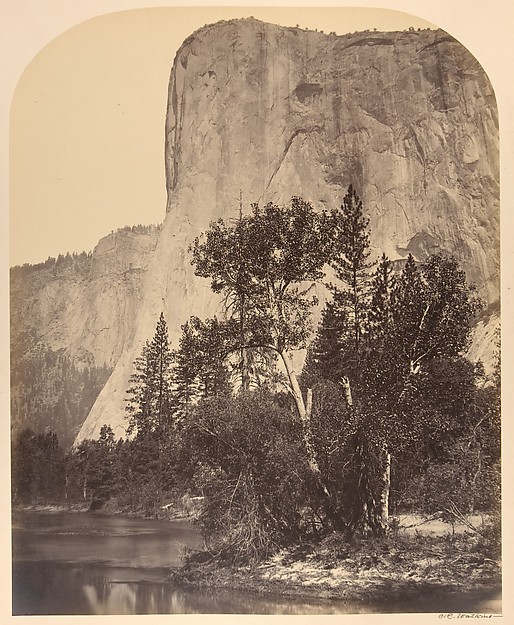 Carleton E. Watkins — Tutucanula, El Capitan
 William H. Bell — Cañon of Kanab Wash, Colorado River, Looki
 William H. Bell — Grand Canon, Colorado River, Near Paria Cr
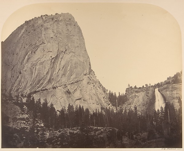 Carleton E. Watkins — Mt. Broderick and Nevada Fall. Fall =
  William H. Bell — Grand Cañon, Colorado River, Near Paria Cr
 Carleton E. Watkins — El Capitan, Yosemite