Roman Catholic Church, Plaza of Guadaloupe, Guadaloupe Co., Colorado. Built not many years since of adobes. Dimensions, length 120 feet; width 60 feet; height 25 feet. Grave yard in the foreground surrounded by an abode wall about 6 feet in height, No. 34 from the series "Geographical Explorations and Surveys West of the 100th Meridian"
1874
Albumen print, stereo
9.2 × 7.4 cm (3.6 × 2.9 in)
SEE IT IN PERSON
Not currently on view
In the collection of Art Institute of Chicago, Chicago · as of July 2026
Discussion
Be the first to share your thoughts.
Sign in to join the discussion.
More by Timothy O'Sullivan
 Distant View of Camp Apache, Arizona
 Cooley's Ranch, 10 miles east of Camp Apache, Arizona. A cha
 View on Apache Lake, Sierra Blanca Range, Arizona
 Cañon de Chelle, Walls of the Grand Cañon, about 1200 feet i
 Cañon, Valley of the Conejos River, looking south from vicin
 Black Cañon, Colorado River, Looking Below, Near Camp 7
 Beaver Lake, Conejos Cañon, Colorado, 9.000 feet above sea-l
 Head of Cañon de Chelle, Looking Down. Walls about 1200 feet
More like this
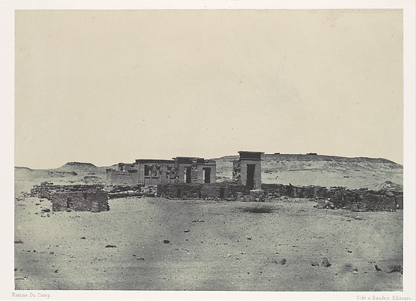 Maxime Du Camp|Imprimerie photographique de Blanquart-Évrard
 Maxime Du Camp — Kalabscheh, Vue Générale du Temple de Kalab
 Barnard and Gibson — Quaker Guns, Centreville, Virginia
 James Robertson — Russian Barrack Battery
 William H. Bell — The "Vermillion Cliff," a typical plateau
 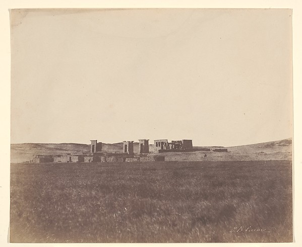 John Beasley Greene — Temple de Deboud
 Maxime Du Camp — Temple et Village de Débôd, Parembole de l'
 James Robertson — Bomb-Proof in which the Russian General li
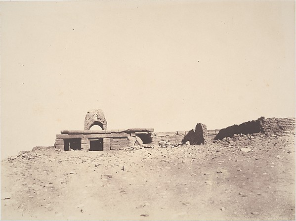 John Beasley Greene — Amada, Temple
 Maxime Du Camp — Hémi-Spéos De Séboua, Drômos; Nubie, plate
  Maxime Du Camp — Vue générale du Temple de Dakkeh (Pselcis),
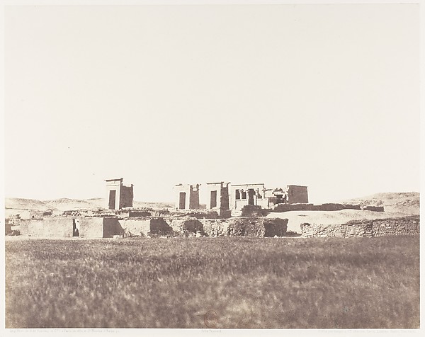 Félix Teynard|Imprimerie Photographique de H. de Fonteny et