Historic Spanish Record of the Conquest, South Side of Inscription Rock, N.M.
SEE IT IN PERSON
Not currently on view
In the collection of Art Institute of Chicago, Chicago · as of July 2026
Discussion
FROM THE ART INSTITUTE OF CHICAGO’S CATALOG
Following the end of the American Civil War, the United States Congress sponsored several major expeditions to chart the western lands, still largely unknown in terms of geography and resources. Such surveys brought together scientists, topographers, and photographers to document their findings. In 1871 Timothy O'Sullivan, who had proven his proficiency in field photography during the war and on an earlier western expedition, was asked by George M. Wheeler to join a government survey of lands west of the 100th Meridian. Survey objectives included achieving a more precise record of the U.S.-Mexico border and studying rocks and plant life, as well as facilitating future commercial development. Factual and blunt, yet sophisticated in composition and often unexpectedly self-referential, O'Sullivan's pictures have intrigued modern viewers. In this image of Inscription Rock in modern New Mexico, which bears the chiseled record of the passage of a Spaniard centuries earlier, he slyly puns on the word "ruler" and suggests perhaps that his own recording equipment can measure and surpass the record of that earlier conquest.
Be the first to share your thoughts.
Sign in to join the discussion.
More by Timothy O'Sullivan
 Distant View of Camp Apache, Arizona
 Cooley's Ranch, 10 miles east of Camp Apache, Arizona. A cha
 View on Apache Lake, Sierra Blanca Range, Arizona
 Cañon de Chelle, Walls of the Grand Cañon, about 1200 feet i
 Cañon, Valley of the Conejos River, looking south from vicin
 Black Cañon, Colorado River, Looking Below, Near Camp 7
 Beaver Lake, Conejos Cañon, Colorado, 9.000 feet above sea-l
 Head of Cañon de Chelle, Looking Down. Walls about 1200 feet
More like this
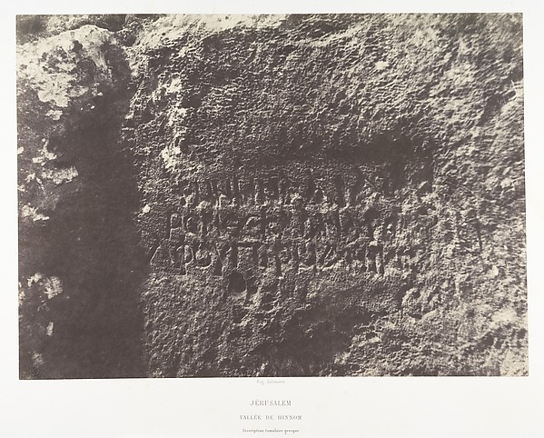 Imprimerie photographique de Blanquart-Évrard, à Lille|Augus
 Maxime Du Camp — Inscription Démotique, Grand Temple d'Isis
  Désiré Charnay — Palais Du Cirque à Chichen-Itza, Intérieur
  Maxime Du Camp — Ibsamboul, Vue Générale Du Grand Spéos De P
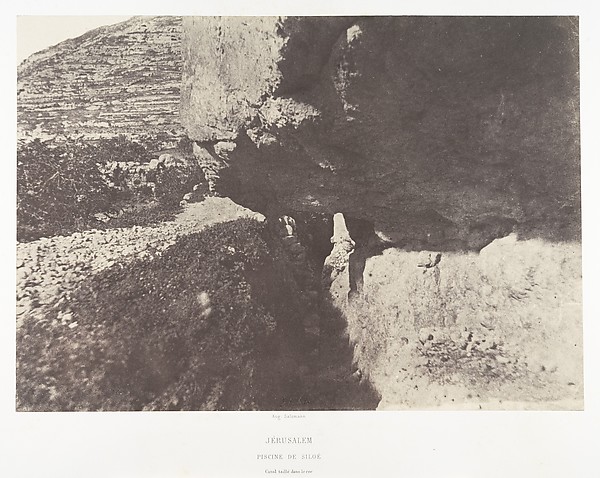 Imprimerie photographique de Blanquart-Évrard, à Lille|Augus
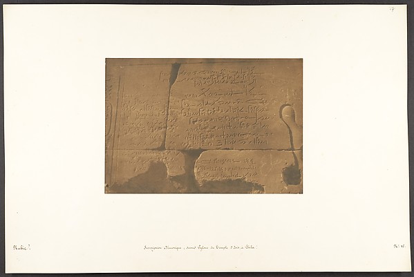 Maxime Du Camp — Inscription Démotique; second Pylone du Tem
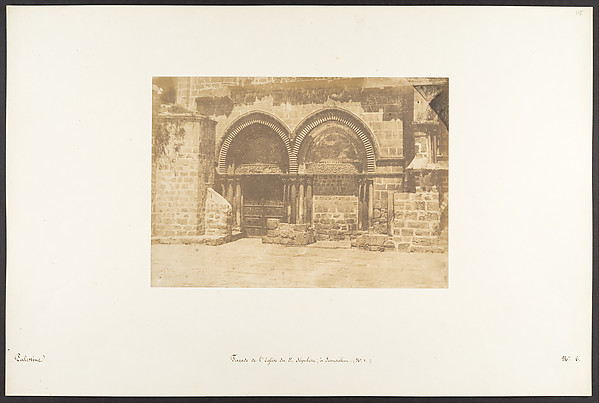 Maxime Du Camp — Façade de l'Eglise du St. Sépulcre, à Jérus
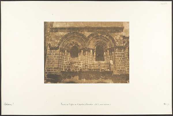 Maxime Du Camp — Façade de l'Eglise du St. Sépulcre, à Jérus
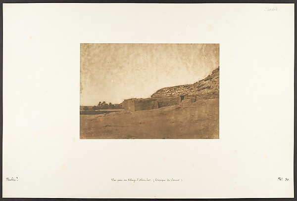 Maxime Du Camp — Vue prise au Village d'Abou-hor (Tropique d
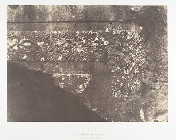 Auguste Salzmann|Imprimerie photographique de Blanquart-Évra
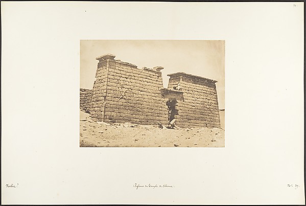 Maxime Du Camp — Pylones du Temple de Sébona
![(18) [Inscription, Old Persian in Cuneiform]](https://images.metmuseum.org/CRDImages/ph/web-large/DP203048.jpg) Luigi Pesce — (18) [Inscription, Old Persian in Cuneiform]
Luigi Pesce — (18) [Inscription, Old Persian in Cuneiform]