"The Bath," a dripping spring in Kanab Cañon. Temperature, 69° Fahr, No. 9 from the series "Geographical Explorations and Surveys West of the 100th Meridian"
1872
Albumen print, stereo
9.3 × 7.4 cm (3.7 × 2.9 in)
SEE IT IN PERSON
Not currently on view
In the collection of Art Institute of Chicago, Chicago · as of July 2026
Discussion
Be the first to share your thoughts.
Sign in to join the discussion.
More by William H. Bell
 Grand Cañon of the Colorado River, Mouth of Kanab Wash, Look
 Grand Cañon, Colorado River, Near Paria Creek, Looking East
 Grand Cañon of the Colorado River, Mouth of Kanab Wash, Look
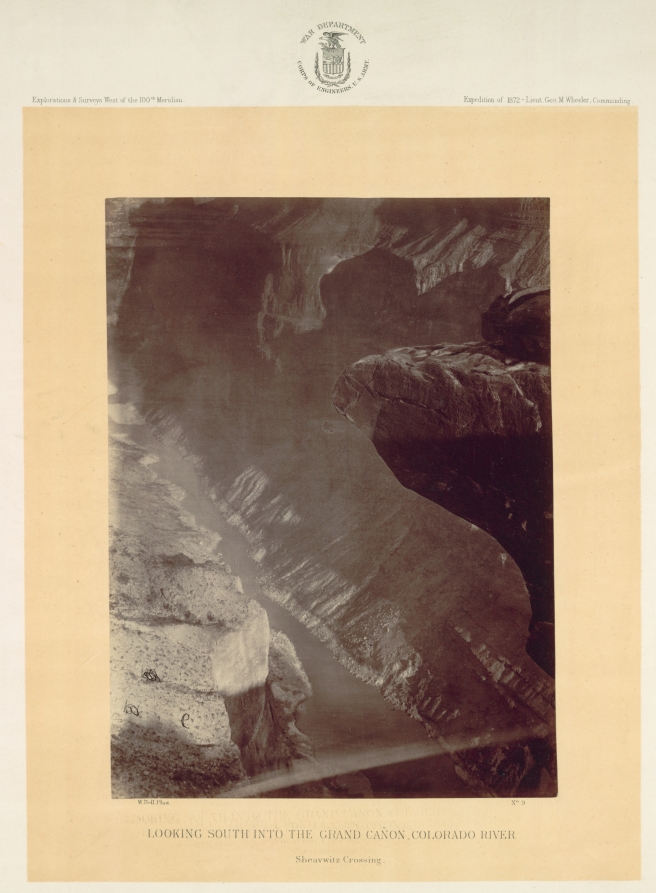 Looking South into the Grand Canyon, Colorado River, Sheavwi
 Mouth of the Paria, Colorado River; walls 2.100 feet in heig
 The "Vermillion Cliff," a typical plateau edge, as seen from
 The Cañon of Kanab Creek, near its junction with the Grand C
 Colorado River, Mouth of Kanab Wash, Looking West
More like this
 J.C. Burritt — Freer Glen at Watkins View of Upper Glen
 G. F. Gates — Artist's Dream, No. 18 from the series "Stereo
 Timothy O'Sullivan — Grotto Spring, Grand Cañon, Colorado Ri
 H.D. Udall — Ante-Chamber, Looking East, No. 31 from the ser
 Timothy O'Sullivan — Central portion of Canñon de Chelle, Ne
 Charles Roscoe Savage — Camping Under the Rocks, Big Cottonw
 J.C. Burritt — Freef Glen at Watkins
 B. H. Gurnsey — The Punch Bowl, Queen's Cañon, Glen Eyrie, f
 Timothy O'Sullivan — Apache Lake, Summit of Sierra Blanca Mo
 J. F. Jarvis — Kitzloch Fall in the Wild Ravine of the Ache,
 H.D. Udall — Nourmahal Cascade, and Gold Hunter's Cave, No.
  H.D. Udall — Nourmahal Cascade, from the South, No. 8 from t