The Church of San Miguel, the Oldest in Santa Fe, N.M.
1873
Albumen print, from the album "Geographical & Geological Explorations & Surveys West of the 100th Meridian," vol. 2
27.7 × 20.2 cm (10.9 × 8 in)
SEE IT IN PERSON
Not currently on view
In the collection of Art Institute of Chicago, Chicago · as of July 2026
Discussion
Be the first to share your thoughts.
Sign in to join the discussion.
More by Timothy O'Sullivan
 Distant View of Camp Apache, Arizona
 Cooley's Ranch, 10 miles east of Camp Apache, Arizona. A cha
 View on Apache Lake, Sierra Blanca Range, Arizona
 Cañon de Chelle, Walls of the Grand Cañon, about 1200 feet i
 Cañon, Valley of the Conejos River, looking south from vicin
 Black Cañon, Colorado River, Looking Below, Near Camp 7
 Beaver Lake, Conejos Cañon, Colorado, 9.000 feet above sea-l
 Head of Cañon de Chelle, Looking Down. Walls about 1200 feet
More like this
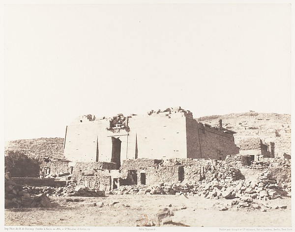 Félix Teynard|Imprimerie Photographique de H. de Fonteny et
 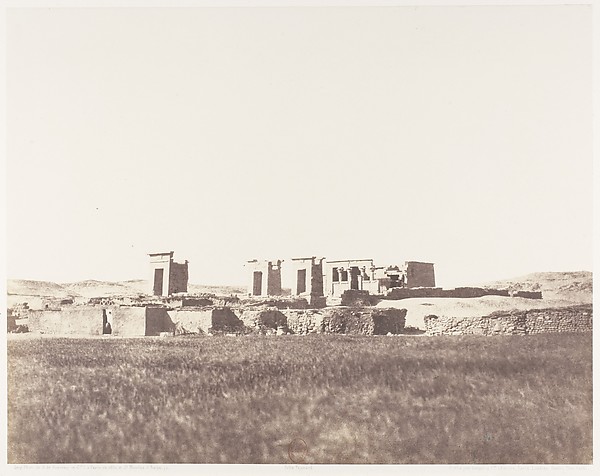 Félix Teynard|Imprimerie Photographique de H. de Fonteny et
 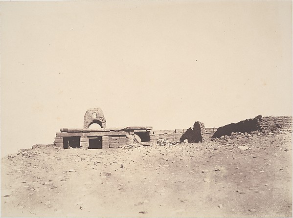 John Beasley Greene — Amada, Temple
 Maxime Du Camp — Mosquée de Bellal au Village de Bab; Nubie,
 Maxime Du Camp — Grand Temple d'Isis à Philoe, Vue Générale
 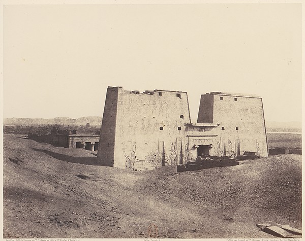 Félix Teynard|Imprimerie Photographique de H. de Fonteny et
 ![[Gate of Government, Teheran, Iran]](https://images.metmuseum.org/CRDImages/ph/web-large/DP202920.jpg) Luigi Pesce — [Gate of Government, Teheran, Iran]
Luigi Pesce — [Gate of Government, Teheran, Iran] Maxime Du Camp — Palais de Karnak, Grands Pylones du Sud-Oue
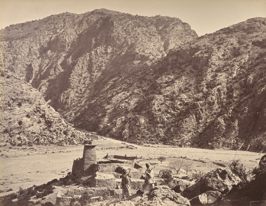 John Burke (Irish, 1845–1915) — Kuta Kushta
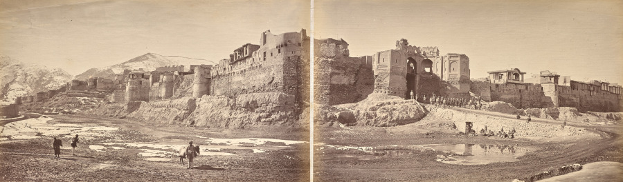 John Burke (Irish, 1845–1915) — Bala Hissar
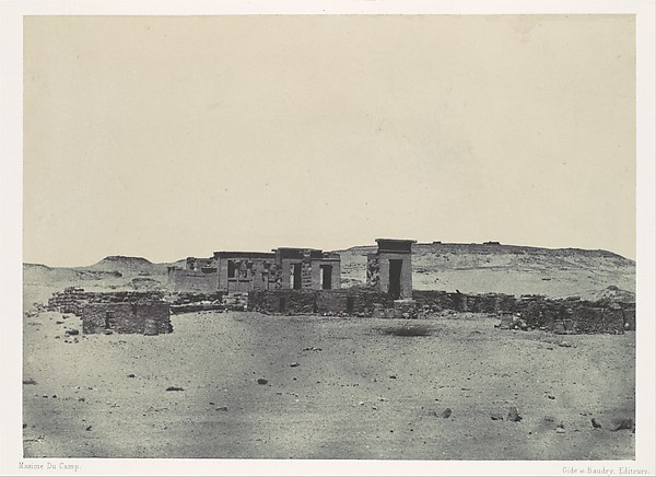 Maxime Du Camp|Imprimerie photographique de Blanquart-Évrard
 Maxime Du Camp — Médinet-Habou,Vue Générale des Rines, Thèbe