Rain Sculpture, Salt Creek Canon, Utah
SEE IT IN PERSON
Not currently on view
In the collection of Art Institute of Chicago, Chicago · as of July 2026
Discussion
FROM THE ART INSTITUTE OF CHICAGO’S CATALOG
In addition to operating his own photographic studio, William H. Bell served as staff photographer for the Army Medical Museum in Washington, D.C., where he documented wounds received by soldiers during the Civil War. In 1872, he joined a surveying expedition led by Lt. George M. Wheeler, part of a larger governmental effort to assess and ultimately exploit the lands and resources of the West. The photographs that Bell took on the expedition were not only used as references for geologists and geographers, but were also sold as stereographs or, like this print, published in albums distributed to members of Congress by the War Department. Wheeler praised photography’s ability to quickly and easily record the details of “convoluted” rock formations like this one, “so suggestive of the folds of heavy drapery.”
Be the first to share your thoughts.
Sign in to join the discussion.
More by William H. Bell
 Grand Cañon of the Colorado River, Mouth of Kanab Wash, Look
 Grand Cañon, Colorado River, Near Paria Creek, Looking East
 Grand Cañon of the Colorado River, Mouth of Kanab Wash, Look
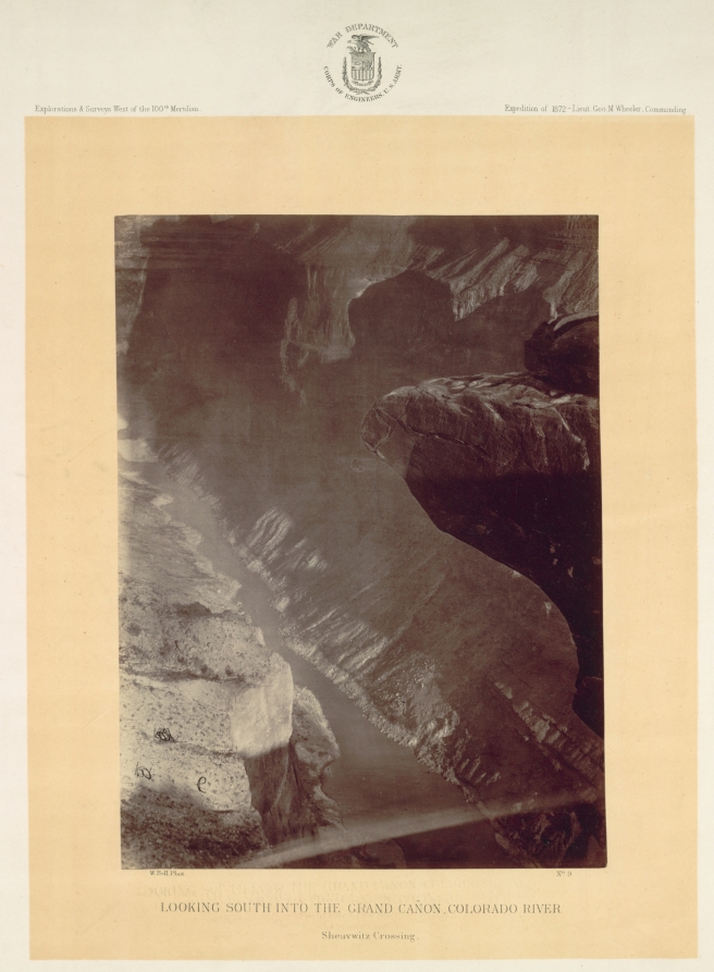 Looking South into the Grand Canyon, Colorado River, Sheavwi
 Mouth of the Paria, Colorado River; walls 2.100 feet in heig
 The "Vermillion Cliff," a typical plateau edge, as seen from
 The Cañon of Kanab Creek, near its junction with the Grand C
 Colorado River, Mouth of Kanab Wash, Looking West
More like this
 Andrew Joseph Russell — Serrated Rocks or Devil's Slide, (Ne
 Andrew Joseph Russell — Church Buttes, Near Fort Bridger, Wy
 Andrew Joseph Russell — Sentinel Rock, Echo Canon
 Timothy O'Sullivan — Wall in the Grand Cañon, Colorado River
 Maxime Du Camp — Gournah, Nécropole de Thèbes; Thèbes, plate
 Andrew Joseph Russell — Conglomerate Peaks of Echo
 Andrew Joseph Russell — Bitter Creek Valley, Near Green Rive
 Timothy O'Sullivan — Cañon de Chelle, Walls of the Grand Cañ
 Timothy O'Sullivan — The South Side of Inscription Rock
 Timothy O'Sullivan — Water Rhyolites, Near Logan Springs, Ne
 Edouard Denis Baldus — Ruisseau coulant entre une falaise et
 Maxime Du Camp — Seconde Cataracte, Dgebel-Aboucir; Nubie, p