Mono Lake, Volcano, 13,000 Feet
SEE IT IN PERSON
Not currently on view
In the collection of Art Institute of Chicago, Chicago · as of July 2026
Discussion
FROM THE ART INSTITUTE OF CHICAGO’S CATALOG
Timothy O’Sullivan is acclaimed for landscape photographs of the American West that are bleak and subtle, seemingly more in step with a modernist aesthetic than with the period in which they were made. After establishing his reputation documenting the Civil War under Mathew Brady and Alexander Gardner, O’Sullivan served as official photographer for the Geological Exploration of the Fortieth Parallel, under geologist Clarence King. Covering a 200-mile swath of land along the path of the coming transcontinental railroad, from the California-Nevada border to Cheyenne, Wyoming, the survey had scientific objectives but was also followed closely by the interests behind the railroad and those who sought to profit from the region’s mineral resources. The pictures O’Sullivan produced on the King’s survey contrast with the majestic western landscapes made by his contemporaries; he often emphasized the desolate emptiness of expanses of land, as in this image of the shallow, saline Mono Lake.
Be the first to share your thoughts.
Sign in to join the discussion.
More by Timothy O'Sullivan
 Distant View of Camp Apache, Arizona
 Cooley's Ranch, 10 miles east of Camp Apache, Arizona. A cha
 View on Apache Lake, Sierra Blanca Range, Arizona
 Cañon de Chelle, Walls of the Grand Cañon, about 1200 feet i
 Cañon, Valley of the Conejos River, looking south from vicin
 Black Cañon, Colorado River, Looking Below, Near Camp 7
 Beaver Lake, Conejos Cañon, Colorado, 9.000 feet above sea-l
 Head of Cañon de Chelle, Looking Down. Walls about 1200 feet
More like this
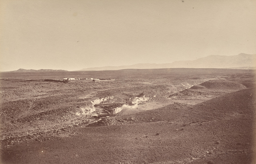 John Burke (Irish, 1845–1915) — Fort Battye and Plains of Fu
 Roger Fenton — Kadikoi, from Camp of Horse Artillery
 Andrew Joseph Russell — Bitter Creek Valley, Near Green Rive
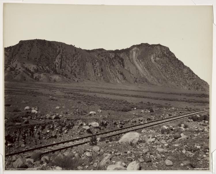 Frank Jay Haynes (American, 1853–1921) — Cinnabar Mountain,
 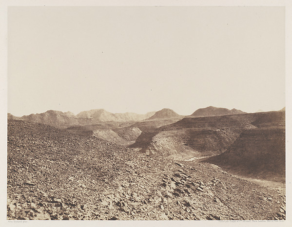 Félix Teynard — Nubie, Environs d'Ibrîm, Chaine Arabique - V
 Roger Fenton — The Lines of Balaklava
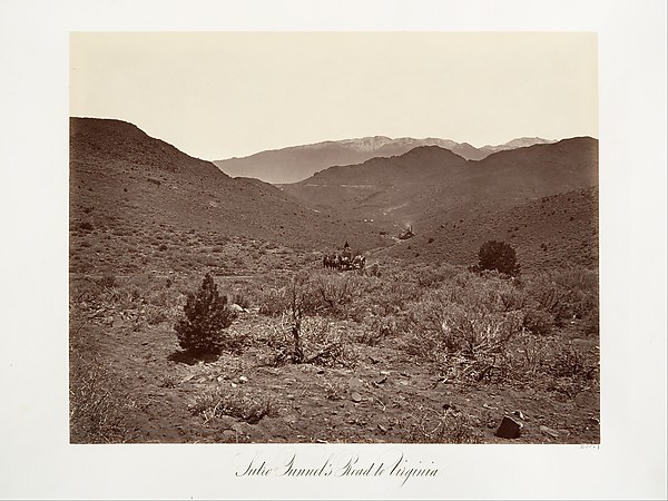 Carleton E. Watkins — Sutro Tunnel's Road to Virginia City
 Maxime Du Camp — Gournah, Nécropole de Thèbes; Thèbes, plate
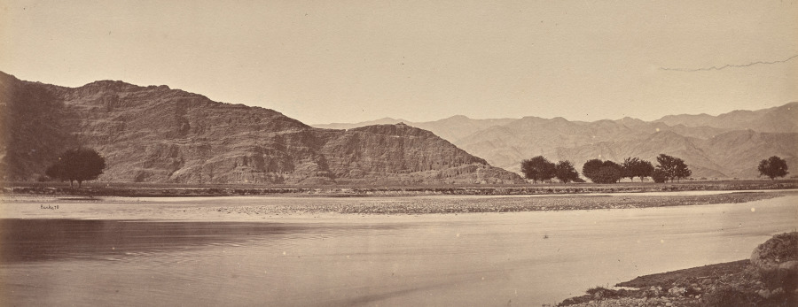 John Burke (Irish, 1845–1915) — Bassaule, the Hill of Caves
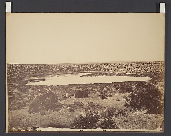 Timothy H. O'Sullivan — Desert Lake, near Ragtown, Nevada
 Roger Fenton — Sebastopol, from the Mortar Battery
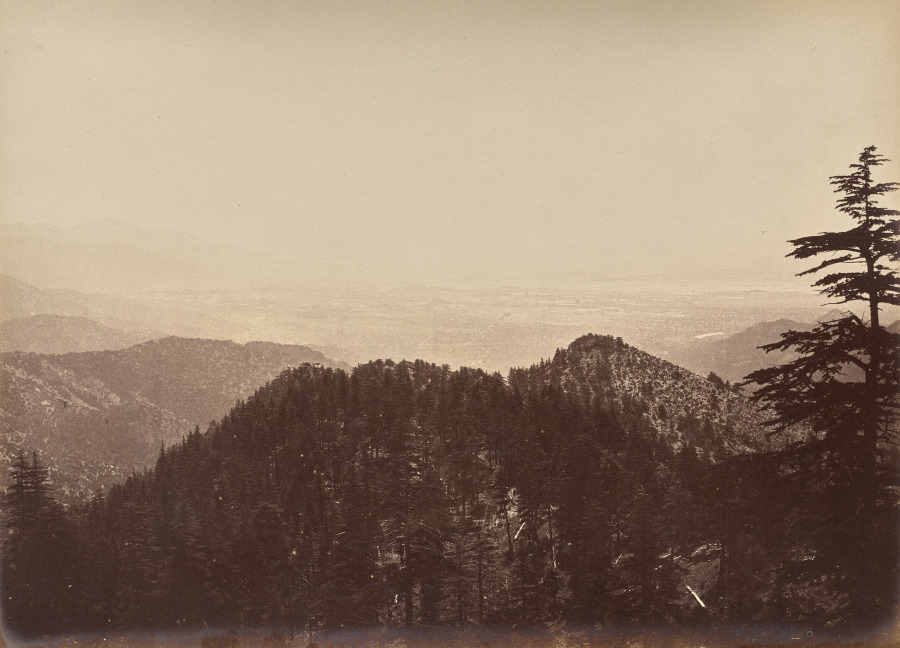 John Burke (Irish, 1845–1915) — Untitled (Landscape Scene)