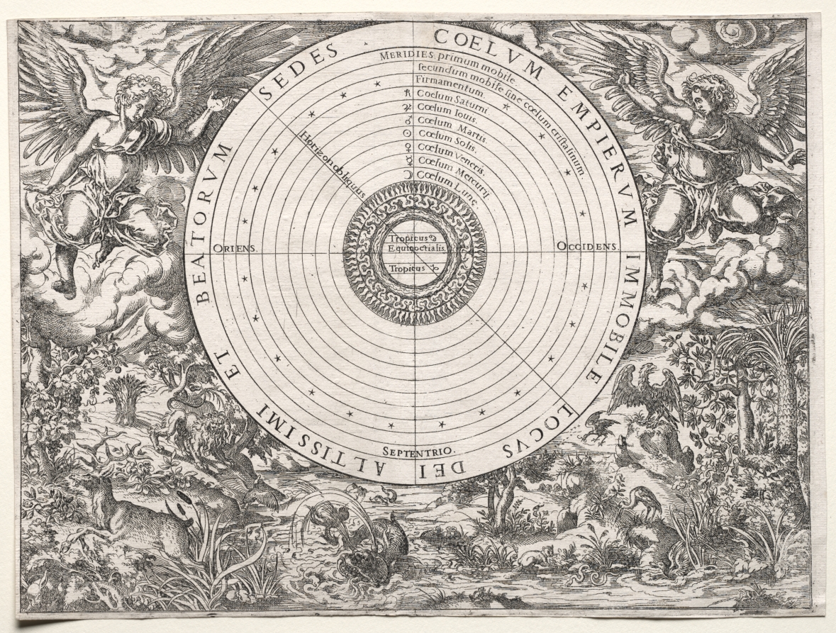
Celestial Map of the Southern Sky (Imagines coeli meridionalis)
SEE IT IN PERSON
Not currently on view
In the collection of Art Institute of Chicago, Chicago · as of July 2026
Discussion
FROM THE ART INSTITUTE OF CHICAGO’S CATALOG
Maps of the heavens and earth were one of the first printed instruments to be turned into three-dimensional objects—as globes. These began with functional two-dimensional diagrams that were cut out in elongated globe-gore strips and pasted onto spheres. While Dürer’s maps of the northern and southern skies were not meant to be mounted in this way, they were copied hundreds of times for this purpose. Produced as a presentation gift along with a view of the terrestrial globe for a humanist advisor to Emperor Maximilian, the dual view depicts the heavens as if the viewer were observing them from space.
Be the first to share your thoughts.
Sign in to join the discussion.
More by Albrecht Dürer




More like this
 Robert Thorne — Orontius Finaeus
 Unknown Artist
English, 19th century — Universalior Cogniti
Unknown Artist
English, 19th century — Universalior Cogniti  Richard Hakluyt — Richard Hakluyt, the Principal Navigations
 Unknown Artist
English, 19th century — Map of the Mercator P
Unknown Artist
English, 19th century — Map of the Mercator P Bernardi Sylvani — Map of the World: Tradewinds
 Richard Hakluyt — Novus Orbis
 Jost Amman (Swiss, 1539–1591) — The Ptolemaic System, from C
 John Paul Cimerlin — Map of the World
 Hans Holbein, the younger — Typus Cosmographicus Universalis
 Unknown Artist
English, 19th century — Map of Rome
Unknown Artist
English, 19th century — Map of Rome Unknown Artist
English, 19th century — Britannia
Unknown Artist
English, 19th century — Britannia Anonymous, Italian, 16th century — The World, Cage of Fools